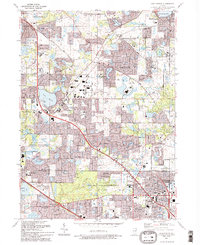
1993 Map of Lake Zurich
USGS Topo · Published 1993About this map
Lake Zurich sits at the center of this 1993 study, showing the significant suburban expansion across the Lake and Cook County line. The landscape is defined by its glacial lakes, including Diamond Lake, Echo Lake, and Sylvan Lake, many of which are surrounded by residential developments and golf courses. The Elgin Joliet and Eastern railroad cuts through the terrain, serving as a reminder of the region's industrial transport roots even as the area transitioned into a commuter-oriented residential hub.
Find a feature on this map
72 named features on this map. Tap any name to fly to it.
Don’t see what you’re looking for? This feature index may not catch every label — zoom into the map to look around manually.
Map Details
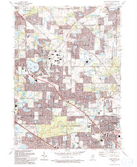
Editions of this 1993 Lake Zurich Map
2 editions found
Other maps of this area

1900 · Highwood
USGS Topo · 1:62,500

1906 · Waukegan
USGS Topo · 1:62,500

1908 · Waukegan
USGS Topo · 1:62,500

1920 · Grays Lake
USGS Topo · 1:62,500

1923 · Grays Lake
USGS Topo · 1:62,500

1923 · Barrington
USGS Topo · 1:62,500

1927 · Arlington Heights
USGS Topo · 1:24,000

1928 · Wheeling
USGS Topo · 1:24,000

1935 · Barrington
USGS Topo · 1:62,500
1953 · Arlington Heights
USGS Topo · 1:24,000