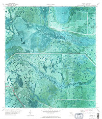
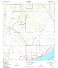
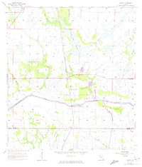
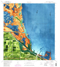
1970 Map of Lakeport
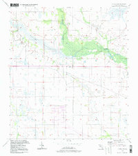
USGS Topo · Published 1976This historical map portrays the area of Lakeport in 1970, primarily covering Glades County. Featuring a scale of 1:24000, this map provides a highly detailed snapshot of the terrain, roads, buildings, counties, and historical landmarks in the Lakeport region at the time. Published in 1976, it is one of 3 known editions of this map due to revisions or reprints.
Find a feature on this map
20 named features on this map. Tap any name to fly to it.
Don’t see what you’re looking for? This feature index may not catch every label — zoom into the map to look around manually.
Map Details
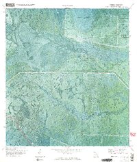
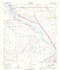
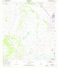
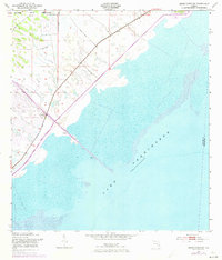
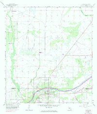
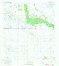
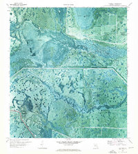
Editions of this 1970 Lakeport Map
3 editions found
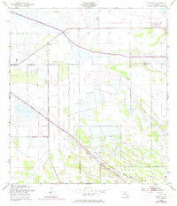
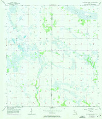
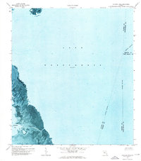
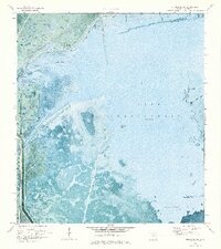
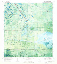
Historical Maps of Glades County Through Time
16 maps found
1952 Okeechobee NW
Glades County, FL
1953 Brighton
Glades County, FL
1953 Brighton SE
Glades County, FL
1953 Brighton SW
Glades County, FL
1953 Okeechobee SW
Glades County, FL
1956 Telegraph Swamp NE
Glades County, FL
1958 Goodno
Glades County, FL
1958 La Belle
Glades County, FL
1958 La Belle NW
Glades County, FL

1958 Palmdale
Glades County, FL
1970 Lakeport
Glades County, FL
1971 Clewiston North
Glades County, FL
1971 Cochrans Pass
Glades County, FL
1971 Fisheating Bay
Glades County, FL
1971 Lake Hicpochee
Glades County, FL
1994 La Belle NW
Glades County, FL