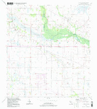
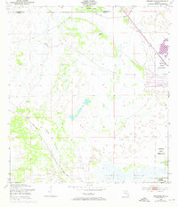
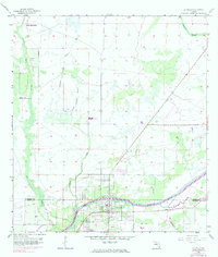
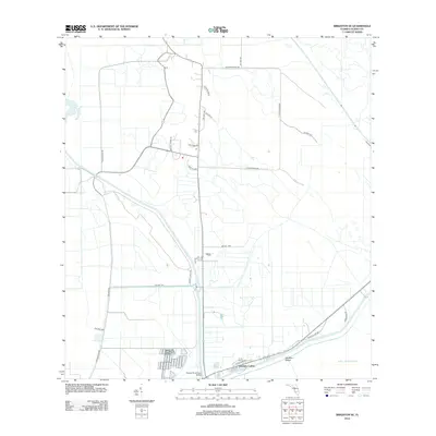
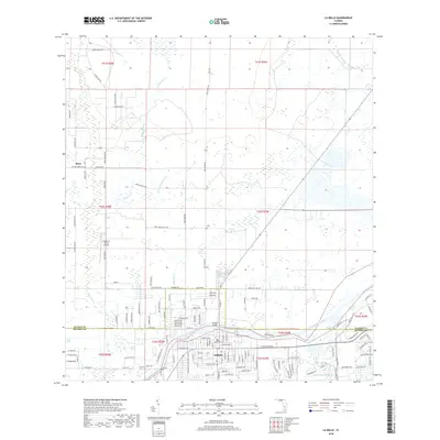
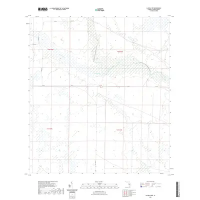
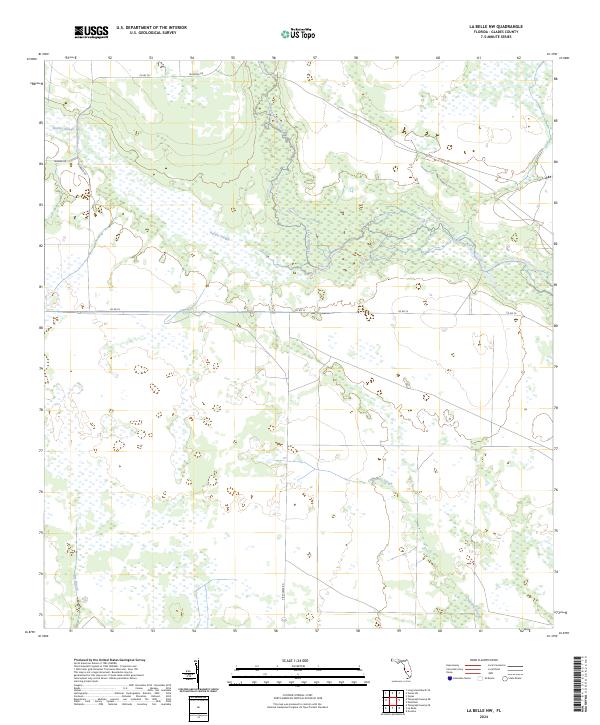
1994 Map of La Belle NW
USGS Topo · Published 1998About this map
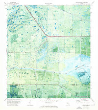
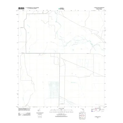
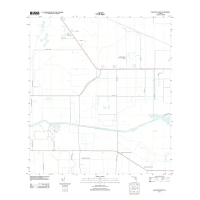
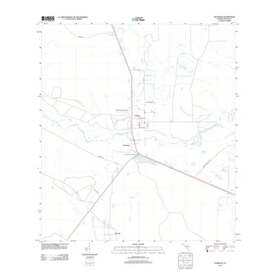
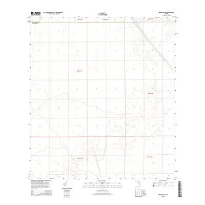
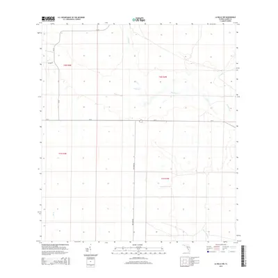
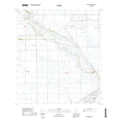
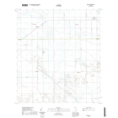
Fisheating Creek meanders through this undeveloped landscape in Glades County, defining a complex network of wetlands and seasonal drainages. The topography is dominated by subtle hydrologic features like Rainey Slough and Chaparral Slough, which illustrate the natural drainage patterns of the Florida interior before major modern alterations. While the area is largely devoid of significant cultural landmarks or settlements, the map documents the section lines and survey control established as of 1958, providing a precise look at the land division in this rural corridor. The presence of Bee Branch further highlights the watery character of the terrain, where slight variations in elevation dictate the flow of slow-moving sloughs and creeks across the Glades.
Find a feature on this map
5 named features on this map. Tap any name to fly to it.
Don’t see what you’re looking for? This feature index may not catch every label — zoom into the map to look around manually.
Map Details
Editions of this 1994 La Belle NW Map
This is the sole edition of this map. No revisions or reprints were ever made.
Historical Maps of Glades County Through Time
91 maps found
1952 Okeechobee NW
Glades County, FL
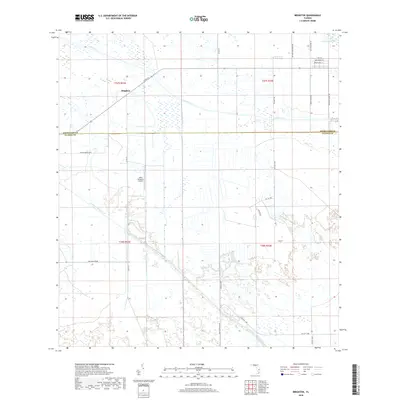
1953 Brighton
Glades County, FL
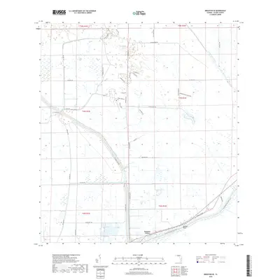
1953 Brighton SE
Glades County, FL
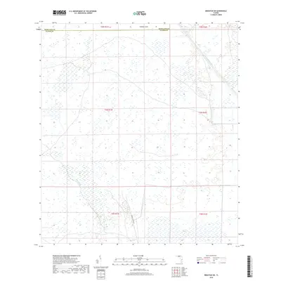
1953 Brighton SW
Glades County, FL
1953 Okeechobee SW
Glades County, FL
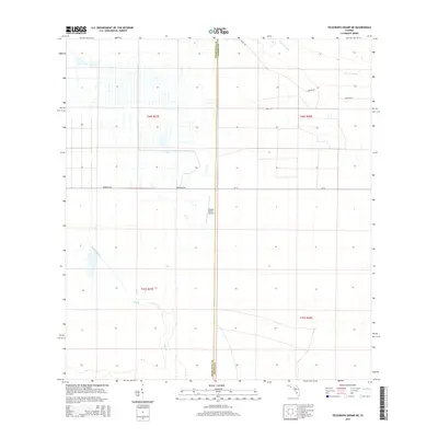
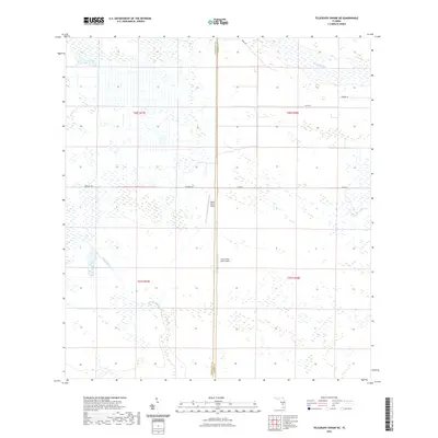
1956 Telegraph Swamp NE
Glades County, FL
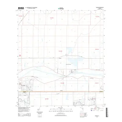
1958 Goodno
Glades County, FL
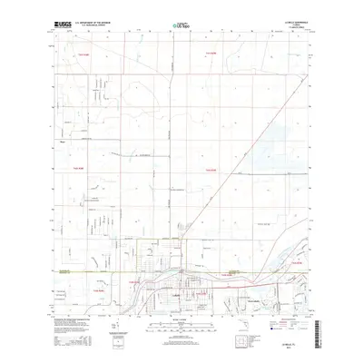
1958 La Belle
Glades County, FL
1958 La Belle NW
Glades County, FL

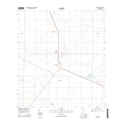
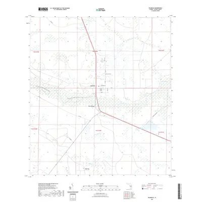
1958 Palmdale
Glades County, FL
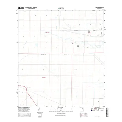
1970 Lakeport
Glades County, FL
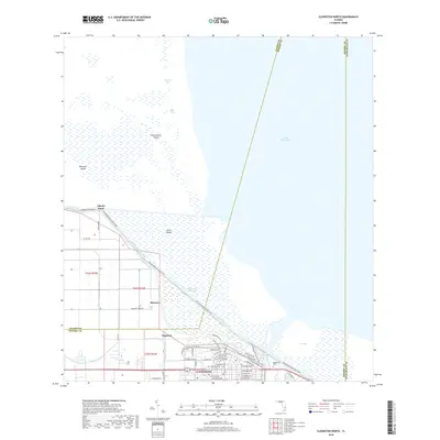
1971 Clewiston North
Glades County, FL
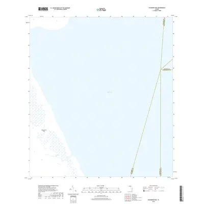
1971 Cochrans Pass
Glades County, FL
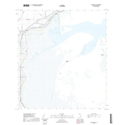
1971 Fisheating Bay
Glades County, FL
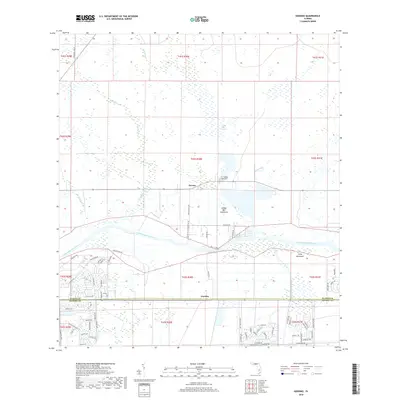
1971 Lake Hicpochee
Glades County, FL
1994 La Belle NW
Glades County, FL
2012 Brighton
Glades County, FL
2012 Brighton SE
Glades County, FL
2012 Brighton SW
Glades County, FL
2012 Clewiston North
Glades County, FL
2012 Cochrans Pass
Glades County, FL
2012 Fisheating Bay
Glades County, FL
2012 Goodno
Glades County, FL
2012 La Belle
Glades County, FL
2012 La Belle NW
Glades County, FL
2012 Lake Hicpochee
Glades County, FL
2012 Lakeport
Glades County, FL
2012 Okeechobee NW
Glades County, FL
2012 Okeechobee SW
Glades County, FL
2012 Palmdale
Glades County, FL
2012 Telegraph Swamp NE
Glades County, FL
2015 Brighton
Glades County, FL
2015 Brighton SE
Glades County, FL
2015 Brighton SW
Glades County, FL
2015 Clewiston North
Glades County, FL
2015 Cochrans Pass
Glades County, FL
2015 Fisheating Bay
Glades County, FL
2015 Goodno
Glades County, FL
2015 La Belle
Glades County, FL
2015 La Belle NW
Glades County, FL
2015 Lake Hicpochee
Glades County, FL
2015 Lakeport
Glades County, FL
2015 Okeechobee NW
Glades County, FL
2015 Okeechobee SW
Glades County, FL
2015 Palmdale
Glades County, FL
2015 Telegraph Swamp NE
Glades County, FL
2018 Brighton
Glades County, FL
2018 Brighton SE
Glades County, FL
2018 Brighton SW
Glades County, FL
2018 Clewiston North
Glades County, FL
2018 Cochrans Pass
Glades County, FL
2018 Fisheating Bay
Glades County, FL
2018 Goodno
Glades County, FL
2018 La Belle
Glades County, FL
2018 La Belle NW
Glades County, FL
2018 Lake Hicpochee
Glades County, FL
2018 Lakeport
Glades County, FL
2018 Okeechobee NW
Glades County, FL
2018 Okeechobee SW
Glades County, FL
2018 Palmdale
Glades County, FL
2018 Telegraph Swamp NE
Glades County, FL
2021 Brighton
Glades County, FL
2021 Brighton SE
Glades County, FL
2021 Brighton SW
Glades County, FL
2021 Clewiston North
Glades County, FL
2021 Cochrans Pass
Glades County, FL
2021 Fisheating Bay
Glades County, FL
2021 Goodno
Glades County, FL
2021 La Belle
Glades County, FL
2021 La Belle NW
Glades County, FL
2021 Lake Hicpochee
Glades County, FL
2021 Lakeport
Glades County, FL
2021 Okeechobee NW
Glades County, FL
2021 Okeechobee SW
Glades County, FL
2021 Palmdale
Glades County, FL
2021 Telegraph Swamp NE
Glades County, FL
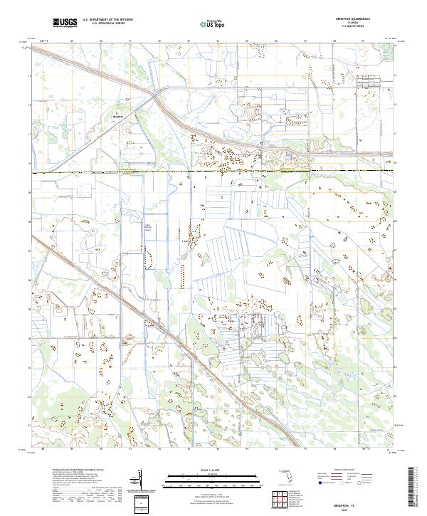
2024 Brighton
Glades County, FL
2024 Brighton SE
Glades County, FL
2024 Brighton SW
Glades County, FL
2024 Clewiston North
Glades County, FL
2024 Cochrans Pass
Glades County, FL
2024 Fisheating Bay
Glades County, FL
2024 Goodno
Glades County, FL
2024 La Belle
Glades County, FL
2024 La Belle NW
Glades County, FL
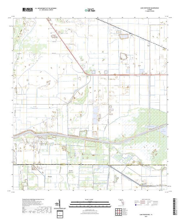
2024 Lake Hicpochee
Glades County, FL
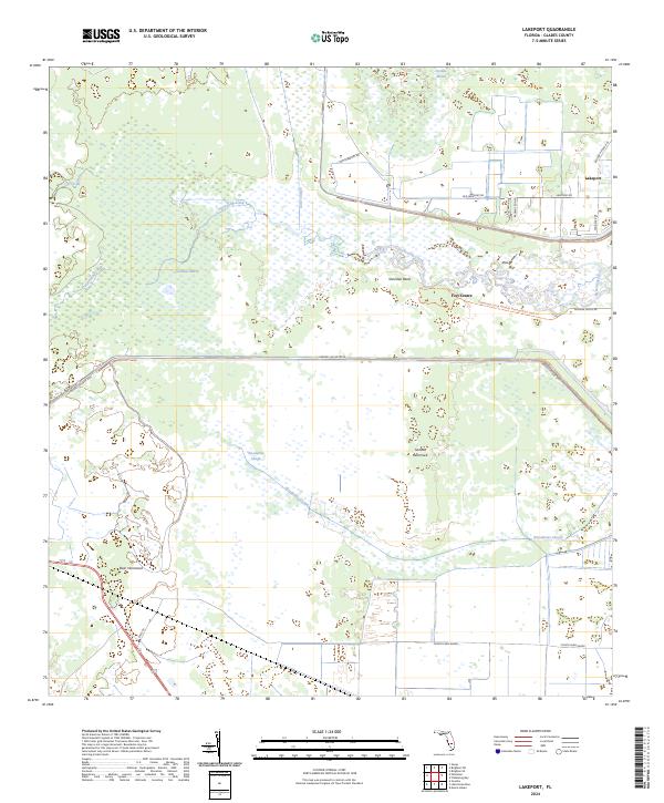
2024 Lakeport
Glades County, FL
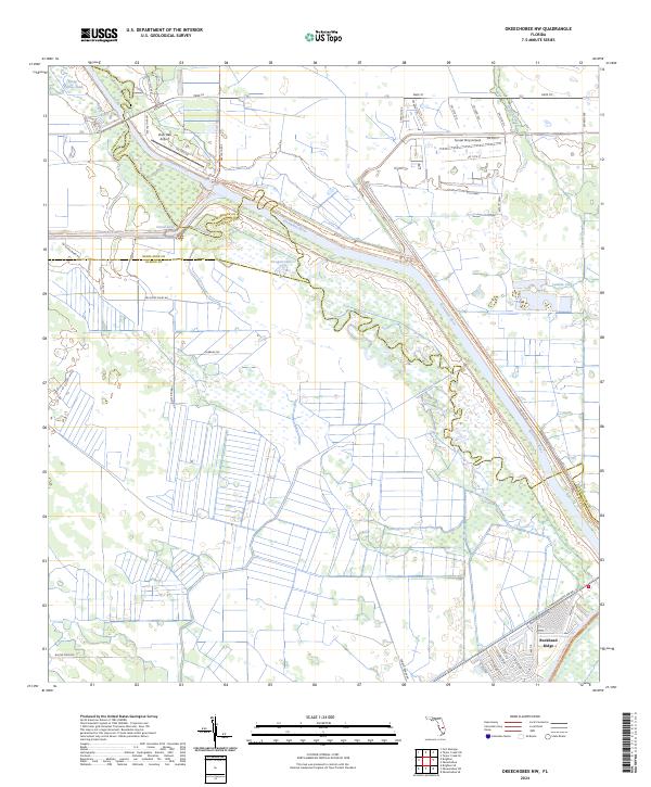
2024 Okeechobee NW
Glades County, FL
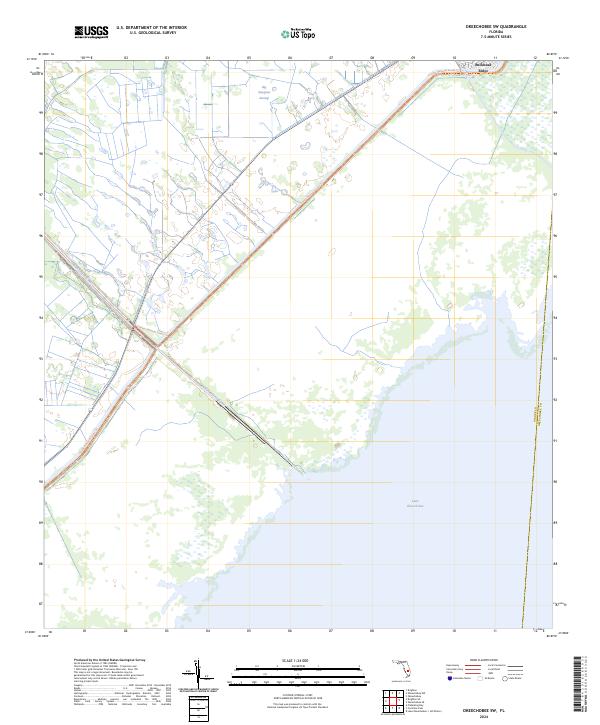
2024 Okeechobee SW
Glades County, FL
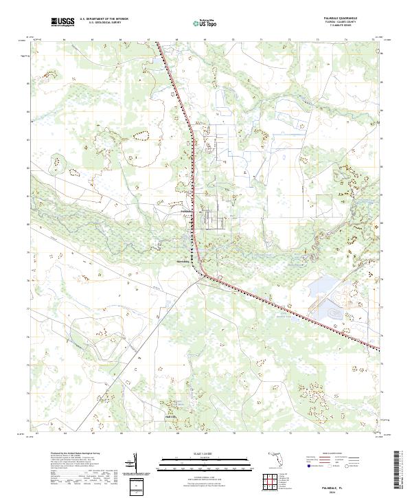
2024 Palmdale
Glades County, FL
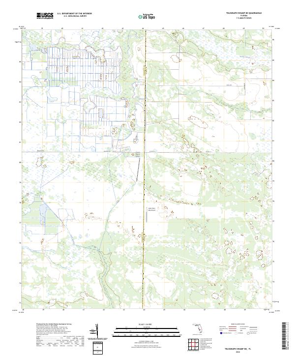
2024 Telegraph Swamp NE
Glades County, FL