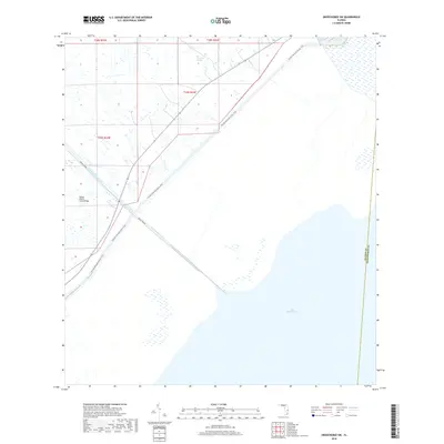
2018 Map of Okeechobee SW
USGS Topo · Published 2018About this map
Lake Okeechobee dominates the southeastern portion of this 2018 survey, where the vast open water meets a complex network of wetlands and managed waterways. This landscape is defined by the massive Big Sawgrass Swamp and the straight, engineered path of the Indian Prairie Canal, which cuts through the flat terrain to drain into the lake. The map illustrates a critical point of recreational and logistical infrastructure where the Florida National Scenic Trail follows the levee system, crossing the water at the Indian Prairie Canal Bridge. The intersection of Glades and Okeechobee counties is clearly delineated here, showing the persistence of the Public Land Survey System (PLSS) grid across a region where land and water frequently blur together.
Find a feature on this map
10 named features on this map. Tap any name to fly to it.
Don’t see what you’re looking for? This feature index may not catch every label — zoom into the map to look around manually.
Map Details
Editions of this 2018 Okeechobee SW Map
This is the sole edition of this map. No revisions or reprints were ever made.
Other maps of this area
1952 · Okeechobee NW
USGS Topo · 1:24,000
1952 · Okeechobee
USGS Topo · 1:24,000
1953 · Brighton
USGS Topo · 1:24,000
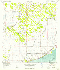
1953 · Brighton SE
USGS Topo · 1:24,000
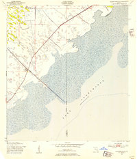
1953 · Okeechobee SW
USGS Topo · 1:24,000

1956 · West Palm Beach
USGS Topo · 1:250,000
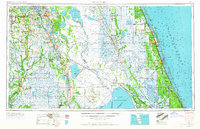
1956 · Fort Pierce
USGS Topo · 1:250,000

1957 · West Palm Beach
USGS Topo · 1:250,000
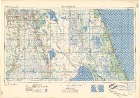
1958 · Fort Pierce
USGS Topo · 1:250,000

1958 · West Palm Beach
USGS Topo · 1:250,000