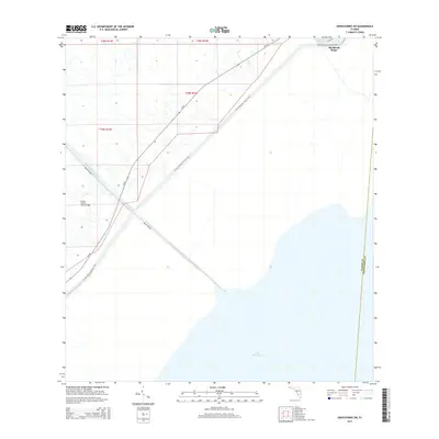
2015 Map of Okeechobee SW
USGS Topo · Published 2015About this map
Buckhead Ridge sits along the northwestern shores of Lake Okeechobee, serving as a focal point for this landscape defined by water management and regional transit. This 2015 survey details the engineered environment where the Indian Prairie Canal cuts through the marshlands, crossing under SR-78 at the Indian Prairie Canal Bridge. The map traces the path of the Florida National Scenic Trail as it follows the levee system, highlighting the intersection of recreational space with the massive scale of Florida's inland water infrastructure. Beyond the residential pockets along Lisa Ln, the terrain is dominated by the survey lines of the Public Land Survey System, illustrating how this part of Okeechobee Co is partitioned between open water and managed prairie.
Find a feature on this map
8 named features on this map. Tap any name to fly to it.
Don’t see what you’re looking for? This feature index may not catch every label — zoom into the map to look around manually.
Map Details
Editions of this 2015 Okeechobee SW Map
This is the sole edition of this map. No revisions or reprints were ever made.
Other maps of this area
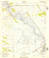
1952 · Okeechobee NW
USGS Topo · 1:24,000
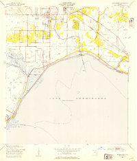
1952 · Okeechobee
USGS Topo · 1:24,000
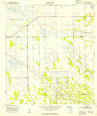
1953 · Brighton
USGS Topo · 1:24,000
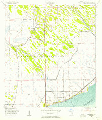
1953 · Brighton SE
USGS Topo · 1:24,000
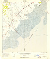
1953 · Okeechobee SW
USGS Topo · 1:24,000

1956 · West Palm Beach
USGS Topo · 1:250,000
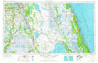
1956 · Fort Pierce
USGS Topo · 1:250,000

1957 · West Palm Beach
USGS Topo · 1:250,000
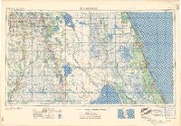
1958 · Fort Pierce
USGS Topo · 1:250,000

1958 · West Palm Beach
USGS Topo · 1:250,000