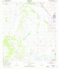
1953 Map of Brighton SW
USGS Topo · Published 1973About this map
Brighton Indian Reservation dominates the eastern landscape of this Florida interior region, showing the boundary lines and early developments at the edge of the Everglades. The map captures a transition in water management and land use, defined by the engineered Harney Pond Canal and the natural drainage of Gator Slough. Low-lying terrain like Sixmile Marsh and named rises such as Cabbage Island reveal the delicate topography of the northern Glades. Human intervention is evidenced by the prominent Spoil Bank and a lonely Windmill marking the cattle-ranching operations common to this era. This 1950s survey, updated with 1970s revisions, documents the early phases of canal construction and marsh drainage that reshaped the Central Florida wetlands.
Find a feature on this map
8 named features on this map. Tap any name to fly to it.
Don’t see what you’re looking for? This feature index may not catch every label — zoom into the map to look around manually.
Map Details
Editions of this 1953 Brighton SW Map
3 editions found
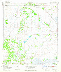
Other maps of this area

1953 · Brighton NW
USGS Topo · 1:24,000

1953 · Brighton SW
USGS Topo · 1:24,000

1953 · Brighton
USGS Topo · 1:24,000

1953 · Brighton SE
USGS Topo · 1:24,000

1953 · Childs
USGS Topo · 1:24,000

1956 · West Palm Beach
USGS Topo · 1:250,000

1956 · Fort Pierce
USGS Topo · 1:250,000

1957 · West Palm Beach
USGS Topo · 1:250,000

1957 · Venus
USGS Topo · 1:24,000

1958 · Fort Pierce
USGS Topo · 1:250,000