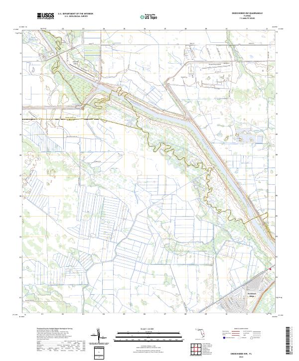
2024 Map of Okeechobee NW
USGS Topo · Published 2024About this map
The Kissimmee River meanders across this landscape, defining the intersection of Highlands, Glades, and Okeechobee counties. This environment is characterized by a complex network of water management features and natural drainage patterns, including Snake River, Canal Lake, and the wetland areas of Long Cypress Slash. The topography is heavily influenced by agricultural and water-control efforts, evidenced by the numerous drainage canals like Canal G-41-A and local routes such as Tomato Grade Rd.
Find a feature on this map
51 named features on this map. Tap any name to fly to it.
Don’t see what you’re looking for? This feature index may not catch every label — zoom into the map to look around manually.
Map Details
Editions of this 2024 Okeechobee NW Map
This is the sole edition of this map. No revisions or reprints were ever made.
Other maps of this area

1952 · Okeechobee NW
USGS Topo · 1:24,000

1952 · Okeechobee
USGS Topo · 1:24,000

1953 · Fort Basinger
USGS Topo · 1:24,000

1953 · Brighton
USGS Topo · 1:24,000

1953 · Brighton SE
USGS Topo · 1:24,000

1953 · Okeechobee SW
USGS Topo · 1:24,000

1953 · Taylor Creek SW
USGS Topo · 1:24,000

1953 · Taylor Creek SE
USGS Topo · 1:24,000

1956 · Fort Pierce
USGS Topo · 1:250,000

1958 · Fort Pierce
USGS Topo · 1:250,000