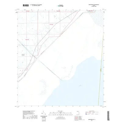
2021 Map of Okeechobee SW
USGS Topo · Published 2021About this map
The northwestern shores of Lake Okeechobee dominate this 2021 landscape, illustrating the critical water management systems and recreational corridors of central Florida. The vast open water of the lake meets the interior through the Indian Prairie Canal, a straight waterway that cuts through the wetlands and is crossed by the Indian Prairie Canal Bridge. This area marks a clear boundary between the sprawling Big Sawgrass Swamp and the managed hydrologic features designed to control flow into the lake. Running diagonally across the terrain is the Florida National Scenic Trl, providing a long-distance hiking route that follows the embankments and levees near the water's edge. This map documents the precise interface of the Glades and Okeechobee county line as it intersects these aquatic and transit corridors.
Find a feature on this map
6 named features on this map. Tap any name to fly to it.
Don’t see what you’re looking for? This feature index may not catch every label — zoom into the map to look around manually.
Map Details
Editions of this 2021 Okeechobee SW Map
This is the sole edition of this map. No revisions or reprints were ever made.
Other maps of this area

1952 · Okeechobee NW
USGS Topo · 1:24,000

1952 · Okeechobee
USGS Topo · 1:24,000

1953 · Brighton
USGS Topo · 1:24,000

1953 · Brighton SE
USGS Topo · 1:24,000

1953 · Okeechobee SW
USGS Topo · 1:24,000

1956 · West Palm Beach
USGS Topo · 1:250,000

1956 · Fort Pierce
USGS Topo · 1:250,000

1957 · West Palm Beach
USGS Topo · 1:250,000

1958 · Fort Pierce
USGS Topo · 1:250,000

1958 · West Palm Beach
USGS Topo · 1:250,000