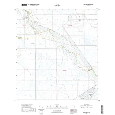
2018 Map of Okeechobee NW
USGS Topo · Published 2018About this map
Buckhead Ridge anchors the southern boundary of this Florida landscape, where the Kissimmee River forms a natural border between Highlands and Glades counties. The river's winding course is mirrored by the Florida National Scenic Trail, which traces the embankment and offers a continuous path through the wetlands and prairie. The regional reliance on local aviation is evident through specialized facilities like the River Oak Airport and the Sunset Strip Airpark, which serve the rural communities north of the lake.
Find a feature on this map
49 named features on this map. Tap any name to fly to it.
Don’t see what you’re looking for? This feature index may not catch every label — zoom into the map to look around manually.
Map Details
Editions of this 2018 Okeechobee NW Map
This is the sole edition of this map. No revisions or reprints were ever made.
Other maps of this area
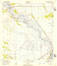
1952 · Okeechobee NW
USGS Topo · 1:24,000
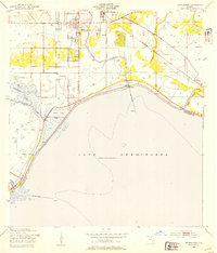
1952 · Okeechobee
USGS Topo · 1:24,000
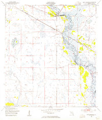
1953 · Fort Basinger
USGS Topo · 1:24,000
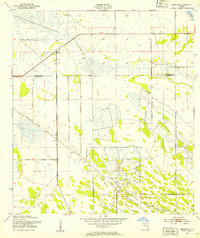
1953 · Brighton
USGS Topo · 1:24,000
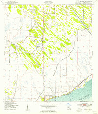
1953 · Brighton SE
USGS Topo · 1:24,000
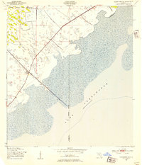
1953 · Okeechobee SW
USGS Topo · 1:24,000
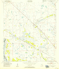
1953 · Taylor Creek SW
USGS Topo · 1:24,000
1953 · Taylor Creek SE
USGS Topo · 1:24,000
1956 · Fort Pierce
USGS Topo · 1:250,000
1958 · Fort Pierce
USGS Topo · 1:250,000