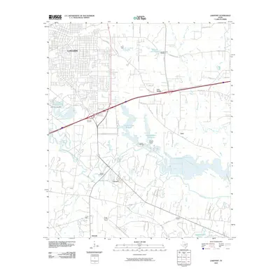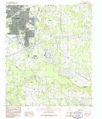
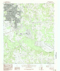
1983 Map of Lakeport
USGS Topo · Published 1986About this map
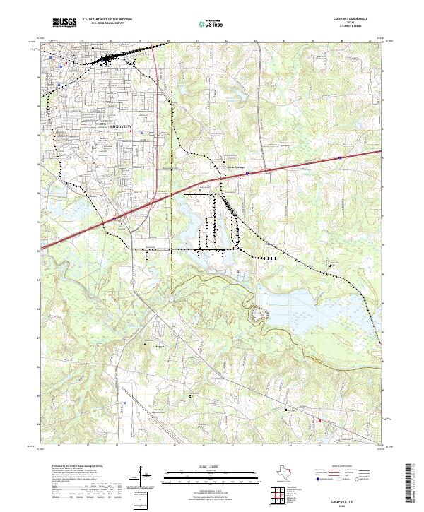
The industrial and educational expansion of Longview dominates the northwestern quadrant of this map, characterized by the sprawling campus of Le Tourneau College and the neighboring residential developments that transformed the landscape by the mid-1980s. To the south and east, the terrain transitions into the forested bottomlands of the Sabine River, where the serpentine river channel marks the boundary between Gregg and Harrison counties. Smaller communities like Lakeport and Gum Springs are situated amidst a network of riparian features, including Lake Le Tourneau and Ferguson Lake.
Find a feature on this map
23 named features on this map. Tap any name to fly to it.
Don’t see what you’re looking for? This feature index may not catch every label — zoom into the map to look around manually.
Map Details
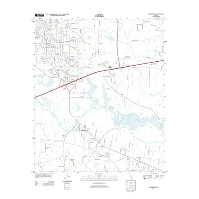
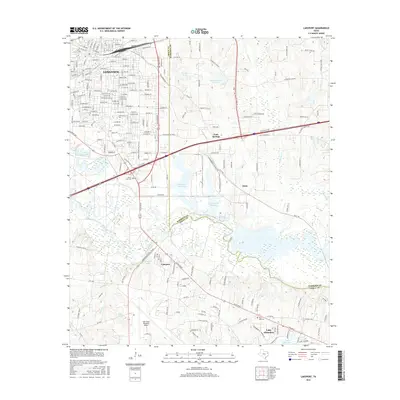
Editions of this 1983 Lakeport Map
2 editions found
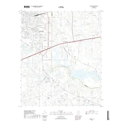
Historical Maps of Longview Through Time
6 maps found