
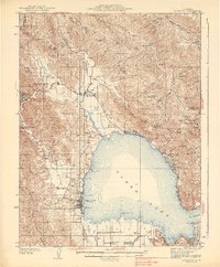
1938 Map of Lakeport
USGS Topo · Published 1938About this map
Clear Lake dominates this 1930s topographic survey, revealing a landscape of established shoreline resorts and small agricultural valleys. The western shore is anchored by Lakeport, where the Ukiah-Lakeport Highway connects the county seat to the interior. Moving north and east, the map traces a string of lakeside developments including Laurel Beach, Nice, and Lucerne, reflecting the era's growing recreational economy.
Find a feature on this map
89 named features on this map. Tap any name to fly to it.
Don’t see what you’re looking for? This feature index may not catch every label — zoom into the map to look around manually.
Map Details
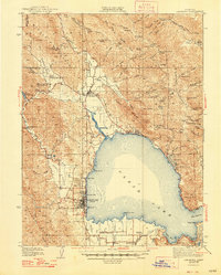
Editions of this 1938 Lakeport Map
3 editions found
Other maps of this area

1920 · Ukiah
USGS Topo · 1:62,500

1921 · Kelseyville
USGS Topo · 1:62,500

1922 · Hullville
USGS Topo · 1:62,500

1924 · Bartlett Springs
USGS Topo · 1:62,500

1938 · Hopland
USGS Topo · 1:62,500

1942 · Bartlett Springs
USGS Topo · 1:62,500

1943 · Pomo
USGS Topo · 1:62,500

1943 · Kelseyville
USGS Topo · 1:62,500

1943 · Hopland
USGS Topo · 1:62,500

1944 · Bartlett Springs
USGS Topo · 1:62,500