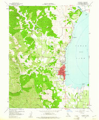
1958 Map of Lakeport
USGS Topo · Published 1961About this map
Lakeport anchors the western shore of Clear Lake in this late 1950s survey, a time when the community's footprint was concentrated around Brewery Hill and the waterfront. The map captures the agricultural transition in Scotts Valley and Big Valley, where numerous pumphouses and gaging stations suggest a landscape managed for water. Local infrastructure is well-defined, including the Union High School, Lakeside Hospital, and the County Fairgrounds. To the north and south, the Scotts Valley Rancheria and Big Valley Rancheria mark important cultural sites, while the Hartley Cemetery provides a key point of reference for genealogists. The terrain rises sharply to the west into the Mayacmas Mts, defined by features like McGregor Ridge and Scotts Mtn, while the lakeshore is punctuated by points such as Willow Pt and Rocky Pt.
Find a feature on this map
59 named features on this map. Tap any name to fly to it.
Don’t see what you’re looking for? This feature index may not catch every label — zoom into the map to look around manually.
Map Details
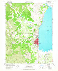
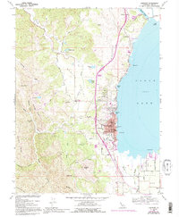
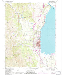
Editions of this 1958 Lakeport Map
5 editions found

Other maps of this area

1920 · Ukiah
USGS Topo · 1:62,500

1921 · Kelseyville
USGS Topo · 1:62,500

1938 · Lakeport
USGS Topo · 1:62,500

1938 · Hopland
USGS Topo · 1:62,500

1943 · Kelseyville
USGS Topo · 1:62,500

1943 · Hopland
USGS Topo · 1:62,500

1944 · Ukiah
USGS Topo · 1:62,500

1944 · Hopland
USGS Topo · 1:62,500

1947 · Santa Rosa
USGS Topo · 1:250,000

1949 · Santa Rosa
USGS Topo · 1:250,000