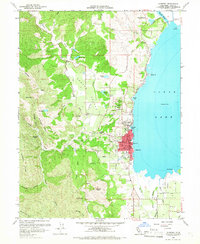
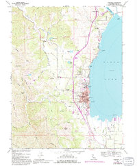
1958 Map of Lakeport
USGS Topo · Published 1966About this map
Lakeport sits prominently along the western shore of Clear Lake, serving as a focal point for the agricultural and civic life of the late 1950s. The shoreline is punctuated by local landmarks like Rumsey Bay, Berger Bay, and Willow Pt, while the inland landscape is defined by the fertile Scotts Valley and Big Valley. These valley floors are crisscrossed by a network of rural roads such as Eickhoff Road and Riggs Road, supporting a spread of farms and orchards that surround the smaller settlement of Finley.
Find a feature on this map
60 named features on this map. Tap any name to fly to it.
Don’t see what you’re looking for? This feature index may not catch every label — zoom into the map to look around manually.
Map Details
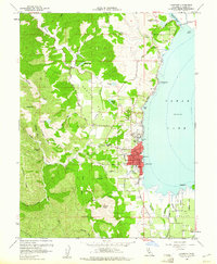
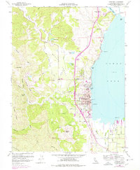
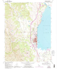
Editions of this 1958 Lakeport Map
5 editions found
Other maps of this area

1920 · Ukiah
USGS Topo · 1:62,500

1921 · Kelseyville
USGS Topo · 1:62,500

1938 · Lakeport
USGS Topo · 1:62,500

1938 · Hopland
USGS Topo · 1:62,500

1943 · Kelseyville
USGS Topo · 1:62,500

1943 · Hopland
USGS Topo · 1:62,500

1944 · Ukiah
USGS Topo · 1:62,500

1944 · Hopland
USGS Topo · 1:62,500

1947 · Santa Rosa
USGS Topo · 1:250,000

1949 · Santa Rosa
USGS Topo · 1:250,000