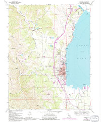
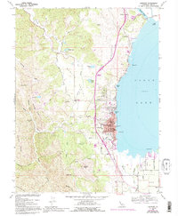
1958 Map of Lakeport
USGS Topo · Published 1994About this map
Lakeport sits prominently on the western shores of Clear Lake, serving as a centralized hub for the surrounding valleys and mountain ridges. The town's grid is well-established near Rumsey Bay and Willow Pt, featuring essential civic landmarks like the Union High Sch and the County Fairgrounds. To the north, the Scotts Valley Rancheria and the historic Hartley Cemetery indicate a landscape layered with diverse community histories.
Find a feature on this map
51 named features on this map. Tap any name to fly to it.
Don’t see what you’re looking for? This feature index may not catch every label — zoom into the map to look around manually.
Map Details
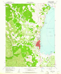
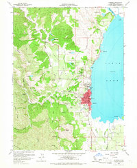
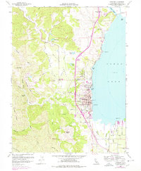
Editions of this 1958 Lakeport Map
5 editions found
Other maps of this area

1920 · Ukiah
USGS Topo · 1:62,500

1921 · Kelseyville
USGS Topo · 1:62,500

1938 · Lakeport
USGS Topo · 1:62,500

1938 · Hopland
USGS Topo · 1:62,500

1943 · Kelseyville
USGS Topo · 1:62,500

1943 · Hopland
USGS Topo · 1:62,500

1944 · Ukiah
USGS Topo · 1:62,500

1944 · Hopland
USGS Topo · 1:62,500

1947 · Santa Rosa
USGS Topo · 1:250,000

1949 · Santa Rosa
USGS Topo · 1:250,000