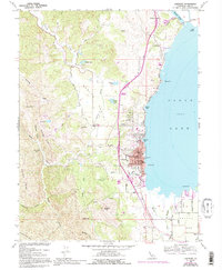
1958 Map of Lakeport
USGS Topo · Published 1994About this map
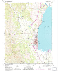
Lakeport sits prominently along the western shores of Clear Lake, serving as a central hub between the rising Mayacmas Mts to the west and the agricultural basins of Scotts Valley and Big Valley. This mid-century survey reveals a community deeply integrated with its shoreline, noted by features like Lakeside Hospital, Union High Sch, and various gaging stations. The drainage patterns of Scotts Creek and Manning Creek illustrate the water management essential to the valley's development, while the Scotts Valley Rancheria and Hartley Cemetery provide important landmarks for local history and genealogy. Along the northern shoreline, the Lucerne Cutoff Road crosses Rodman Slough near Tule Island, indicating the infrastructure supporting regional travel and the recreational character of the lakeside environment.
Find a feature on this map
46 named features on this map. Tap any name to fly to it.
Don’t see what you’re looking for? This feature index may not catch every label — zoom into the map to look around manually.
Map Details
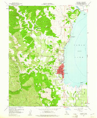
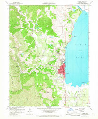
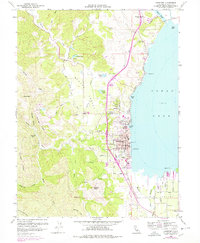
Editions of this 1958 Lakeport Map
5 editions found
Other maps of this area

1920 · Ukiah
USGS Topo · 1:62,500

1921 · Kelseyville
USGS Topo · 1:62,500

1938 · Lakeport
USGS Topo · 1:62,500

1938 · Hopland
USGS Topo · 1:62,500

1943 · Kelseyville
USGS Topo · 1:62,500

1943 · Hopland
USGS Topo · 1:62,500

1944 · Ukiah
USGS Topo · 1:62,500

1944 · Hopland
USGS Topo · 1:62,500

1947 · Santa Rosa
USGS Topo · 1:250,000

1949 · Santa Rosa
USGS Topo · 1:250,000