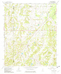
1965 Map of Lamar
USGS Topo · Published 1982About this map
The Illinois Central railroad cuts a diagonal line through this borderland, connecting the communities of Lamar and Michigan City as it crosses from Mississippi into Tennessee. This mid-1960s landscape is defined by its rural density, evidenced by a high concentration of family-named landmarks and country churches. The terrain is partitioned by several waterways, including Early Grove Creek, Mount Tena Creek, and Grays Creek, while the Wolf River flows through the northeastern corner. Multiple cemeteries, such as Franklin Cem, Hickory Hill Cem, and Howard Cem, are scattered across the landscape, providing essential touchpoints for genealogical research. The presence of U. S. 72 and a Roadside Park near the center of the sheet reflects the era's developing highway infrastructure amidst an established network of smaller churches like Sim Chapel and Berry Chapel.
Find a feature on this map
36 named features on this map. Tap any name to fly to it.
Don’t see what you’re looking for? This feature index may not catch every label — zoom into the map to look around manually.
Map Details
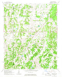
Editions of this 1965 Lamar Map
2 editions found
Other maps of this area

1949 · Moscow
USGS Topo · 1:62,500

1950 · Ashland
USGS Topo · 1:62,500

1950 · Grand Junction
USGS Topo · 1:24,000

1951 · Grand Junction
USGS Topo · 1:24,000

1953 · Holly Springs
USGS Topo · 1:62,500

1956 · Blytheville
USGS Topo · 1:250,000

1956 · Tupelo
USGS Topo · 1:250,000

1958 · Tupelo
USGS Topo · 1:250,000

1959 · Blytheville
USGS Topo · 1:250,000

1964 · Holly Springs SE
USGS Topo · 1:24,000