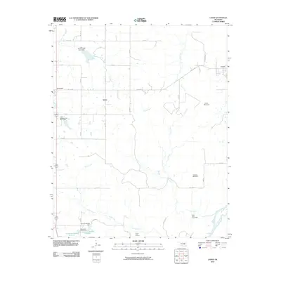
2010 Map of Lamar
USGS Topo · Published 2010About this map
The Canadian River meanders along the southern edge of this Oklahoma landscape, anchoring a region defined by its complex creek systems and prominent local elevations. Lamar stands as the primary settlement in the northeast, while the smaller community of Horntown is situated on the western border. The terrain is marked by significant rises such as Tabletop Mountain and Lamar Mountain, providing a distinct contrast to the drainages of Coal Creek, Spring Creek, and Greasy Creek. Family history and local heritage are preserved at the McMahan Cemetery and the Spring Creek Cemetery. Water management is a visible priority across the quadrangle, evidenced by infrastructure like the Oknoname 063026 Dam and various reservoirs such as the Oknoname 063025 Reservoir, reflecting the rural agricultural and environmental engineering of the early 21st century.
Find a feature on this map
38 named features on this map. Tap any name to fly to it.
Don’t see what you’re looking for? This feature index may not catch every label — zoom into the map to look around manually.
Map Details
Editions of this 2010 Lamar Map
This is the sole edition of this map. No revisions or reprints were ever made.
Other maps of this area

1896 · Coalgate
USGS Topo · 1:125,000

1899 · Coalgate
USGS Topo · 1:125,000

1900 · Wewoka
USGS Topo · 1:125,000

1900 · Coalgate
USGS Topo · 1:125,000

1954 · Oklahoma City
USGS Topo · 1:250,000

1957 · Ardmore
USGS Topo · 1:250,000

1957 · Oklahoma City
USGS Topo · 1:250,000

1963 · Ardmore
USGS Topo · 1:250,000

1963 · Oklahoma City
USGS Topo · 1:250,000

1967 · Calvin East
USGS Topo · 1:24,000