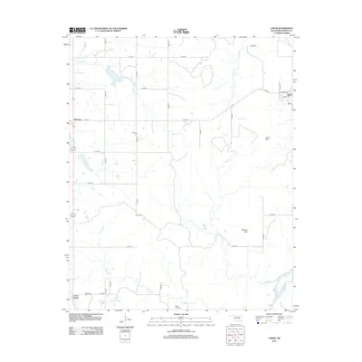
2012 Map of Lamar
USGS Topo · Published 2012About this map
Lamar stands as the primary settlement in this corner of Hughes County, situated at the junction of Carter and Reed streets. The surrounding landscape is defined by the drainage of several local waterways, including Graves Creek, Greasy Creek, and Coal Creek, which all feed toward the Canadian River in the southeast. Smaller communities like Horntown and Cross Roads anchor the rural road network, which is predominantly organized on a section-line grid. Genealogy researchers will find several well-documented burial sites throughout the township, including McMahan Cemetery near the center of the sheet and Crossroads Cemetery to the southwest. The terrain rises to distinct heights at Lamar Mountain and Tabletop Mountain, providing a clear view of the topographic character of this Oklahoma prairie and creek-valley region.
Find a feature on this map
33 named features on this map. Tap any name to fly to it.
Don’t see what you’re looking for? This feature index may not catch every label — zoom into the map to look around manually.
Map Details
Editions of this 2012 Lamar Map
This is the sole edition of this map. No revisions or reprints were ever made.
Other maps of this area

1896 · Coalgate
USGS Topo · 1:125,000

1899 · Coalgate
USGS Topo · 1:125,000

1900 · Wewoka
USGS Topo · 1:125,000

1900 · Coalgate
USGS Topo · 1:125,000

1954 · Oklahoma City
USGS Topo · 1:250,000

1957 · Ardmore
USGS Topo · 1:250,000

1957 · Oklahoma City
USGS Topo · 1:250,000

1963 · Ardmore
USGS Topo · 1:250,000

1963 · Oklahoma City
USGS Topo · 1:250,000

1967 · Calvin East
USGS Topo · 1:24,000