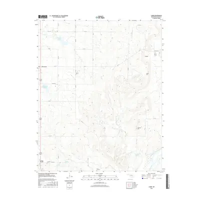
2016 Map of Lamar
USGS Topo · Published 2016About this map
Lamar is situated in the rolling hills of Hughes County, where the terrain begins its descent toward the Canadian River in the south. This 2016 survey illustrates a landscape defined by water management and rural interment, featuring several man-made catchments like the Hack Black Junior Reservoir and Little Wetumka Creek Site 14 Reservoir. These structures underscore the importance of water conservation in Oklahoma's cattle and farming country. Genealogical interest is centered on three distinct burial grounds: McMahan Cem in the north, Spring Creek Cem to the south, and Crossroads Cem near the settlement of Cross Roads. The topographic relief is punctuated by local landmarks such as Lamar Mtn and Tabletop Mtn, which overlook the winding paths of Greasy Cr and Coal Cr. Small-town infrastructure is concentrated in Lamar, where named streets like Jefferson Ave and Walnut St represent the community core.
Find a feature on this map
46 named features on this map. Tap any name to fly to it.
Don’t see what you’re looking for? This feature index may not catch every label — zoom into the map to look around manually.
Map Details
Editions of this 2016 Lamar Map
This is the sole edition of this map. No revisions or reprints were ever made.
Other maps of this area

1896 · Coalgate
USGS Topo · 1:125,000

1899 · Coalgate
USGS Topo · 1:125,000

1900 · Wewoka
USGS Topo · 1:125,000

1900 · Coalgate
USGS Topo · 1:125,000

1954 · Oklahoma City
USGS Topo · 1:250,000

1957 · Ardmore
USGS Topo · 1:250,000

1957 · Oklahoma City
USGS Topo · 1:250,000

1963 · Ardmore
USGS Topo · 1:250,000

1963 · Oklahoma City
USGS Topo · 1:250,000

1967 · Calvin East
USGS Topo · 1:24,000