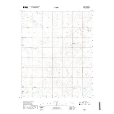
2018 Map of Lamar
USGS Topo · Published 2018About this map
Lamar stands as the primary settlement in this corner of Hughes County, situated just north of the Canadian River. The landscape is defined by the drainages of Graves Cr, Greasy Cr, and Spring Cr, which carve through the terrain between prominent high points like Lamar Mtn and Tabletop Mtn. Smaller communities such as Horntown and Cross Roads are connected by a network of section line roads, reflecting the persistent rural grid of the Oklahoma plains.
Find a feature on this map
50 named features on this map. Tap any name to fly to it.
Don’t see what you’re looking for? This feature index may not catch every label — zoom into the map to look around manually.
Map Details
Editions of this 2018 Lamar Map
This is the sole edition of this map. No revisions or reprints were ever made.
Other maps of this area

1896 · Coalgate
USGS Topo · 1:125,000

1899 · Coalgate
USGS Topo · 1:125,000

1900 · Wewoka
USGS Topo · 1:125,000

1900 · Coalgate
USGS Topo · 1:125,000

1954 · Oklahoma City
USGS Topo · 1:250,000

1957 · Ardmore
USGS Topo · 1:250,000

1957 · Oklahoma City
USGS Topo · 1:250,000

1963 · Ardmore
USGS Topo · 1:250,000

1963 · Oklahoma City
USGS Topo · 1:250,000

1967 · Calvin East
USGS Topo · 1:24,000