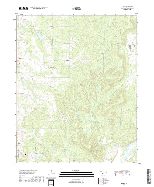
2022 Map of Lamar
USGS Topo · Published 2022About this map
Lamar sits in the northeast corner of this Hughes County landscape, where the terrain transitions from the lowlands near the Canadian River toward the prominent heights of Lamar Mtn and Tabletop Mtn. The settlement pattern reflects the area's rural history, with smaller communities like Horntown and Cross Roads situated along a network of section roads. For family historians, the presence of McMahan Cem, Crossroads Cem, and Spring Creek Cem provides specific points for genealogical research.
Find a feature on this map
47 named features on this map. Tap any name to fly to it.
Don’t see what you’re looking for? This feature index may not catch every label — zoom into the map to look around manually.
Map Details
Editions of this 2022 Lamar Map
This is the sole edition of this map. No revisions or reprints were ever made.
Other maps of this area

1896 · Coalgate
USGS Topo · 1:125,000

1899 · Coalgate
USGS Topo · 1:125,000

1900 · Wewoka
USGS Topo · 1:125,000

1900 · Coalgate
USGS Topo · 1:125,000

1954 · Oklahoma City
USGS Topo · 1:250,000

1957 · Ardmore
USGS Topo · 1:250,000

1957 · Oklahoma City
USGS Topo · 1:250,000

1963 · Ardmore
USGS Topo · 1:250,000

1963 · Oklahoma City
USGS Topo · 1:250,000

1967 · Calvin East
USGS Topo · 1:24,000