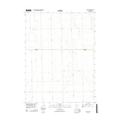
2014 Map of Lamar NW
USGS Topo · Published 2014About this map
Agricultural patterns and county divisions define this landscape in the western Nebraska high plains. The boundary between Perkins Co and Chase Co cuts a straight horizontal line across the center of the terrain, following the alignment of 750 Rd. This modern survey illustrates the organized section-line grid system characteristic of the region's land management, where local connectors like Brandon Rd and 314 Ave facilitate movement through the sparsely populated ranching and farming country. The map shows a terrain dominated by subtle elevation changes and seasonal hydrography, typical of the Sandhills transition, with numerous small depressions and intermittent water features scattered between the established road network of numbered routes such as 748 Rd and 315 Ave.
Find a feature on this map
17 named features on this map. Tap any name to fly to it.
Don’t see what you’re looking for? This feature index may not catch every label — zoom into the map to look around manually.
Map Details
Editions of this 2014 Lamar NW Map
This is the sole edition of this map. No revisions or reprints were ever made.
Other maps of this area

1954 · Sterling
USGS Topo · 1:250,000

1954 · McCook
USGS Topo · 1:250,000

1957 · McCook
USGS Topo · 1:250,000

1958 · McCook
USGS Topo · 1:250,000

1958 · Sterling
USGS Topo · 1:250,000

1961 · Lamar NE
USGS Topo · 1:24,000

1961 · Lamar
USGS Topo · 1:24,000

1961 · Brandon SE
USGS Topo · 1:24,000

1961 · Lamar NW
USGS Topo · 1:24,000

1961 · Brandon
USGS Topo · 1:24,000