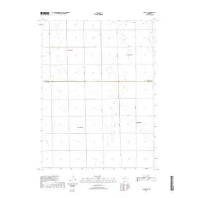
2017 Map of Lamar NW
USGS Topo · Published 2017About this map
The Perkins Co Chase Co line divides this stretch of southwestern Nebraska, where a grid of rural roads defines the movement through the High Plains. This 2017 survey shows a landscape organized by the Public Land Survey System, marked by the intersection of t9n r41w and t9n r40w in the north, transitioning to t8n r41w and t8n r40w in the south. The terrain is characterized by subtle drainage patterns and depressions, with roads like Brandon Rd and 317 Ave providing the primary access points for local ranchers and farmers. These thoroughfares, including Rd 750 which runs directly along the county boundary, reflect the enduring geometry of agricultural settlement in the region.
Find a feature on this map
17 named features on this map. Tap any name to fly to it.
Don’t see what you’re looking for? This feature index may not catch every label — zoom into the map to look around manually.
Map Details
Editions of this 2017 Lamar NW Map
This is the sole edition of this map. No revisions or reprints were ever made.
Other maps of this area

1954 · Sterling
USGS Topo · 1:250,000

1954 · McCook
USGS Topo · 1:250,000

1957 · McCook
USGS Topo · 1:250,000

1958 · McCook
USGS Topo · 1:250,000

1958 · Sterling
USGS Topo · 1:250,000

1961 · Lamar NE
USGS Topo · 1:24,000

1961 · Lamar
USGS Topo · 1:24,000

1961 · Brandon SE
USGS Topo · 1:24,000

1961 · Lamar NW
USGS Topo · 1:24,000

1961 · Brandon
USGS Topo · 1:24,000