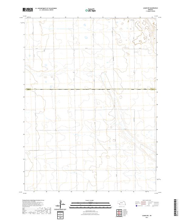
2021 Map of Lamar NW
USGS Topo · Published 2021About this map
Perkins County and Chase County meet along the horizontal dividing line of Rd 750, defining the rural character of this Southwest Nebraska landscape. This high plains area is structured by a rigorous Public Land Survey System grid, as seen in the intersections of Brandon Rd, 317 Ave, and 318 Ave. The terrain is marked by subtle depressions and seasonal drainages, which provide a contrast to the geometric precision of the section lines and township boundaries like t9n r41w and t8n r40w. The road network, including routes like Rd 752 and Rd 753.5, suggests a region dedicated to large-scale ranching or dryland farming, where infrastructure is designed around the vast distances of the Nebraska panhandle periphery.
Find a feature on this map
17 named features on this map. Tap any name to fly to it.
Don’t see what you’re looking for? This feature index may not catch every label — zoom into the map to look around manually.
Map Details
Editions of this 2021 Lamar NW Map
This is the sole edition of this map. No revisions or reprints were ever made.
Other maps of this area

1954 · Sterling
USGS Topo · 1:250,000

1954 · McCook
USGS Topo · 1:250,000

1957 · McCook
USGS Topo · 1:250,000

1958 · McCook
USGS Topo · 1:250,000

1958 · Sterling
USGS Topo · 1:250,000

1961 · Lamar NE
USGS Topo · 1:24,000

1961 · Lamar
USGS Topo · 1:24,000

1961 · Brandon SE
USGS Topo · 1:24,000

1961 · Lamar NW
USGS Topo · 1:24,000

1961 · Brandon
USGS Topo · 1:24,000