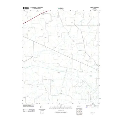
2010 Map of Lambert
USGS Topo · Published 2010About this map
The Loosahatchie River and its broad, marshy floodplains define this portion of Fayette County, winding past vast lowlands like Loosahatchie Bottom and Treadville Bottom. The landscape reflects a deeply rooted rural history, marked by a high density of small family and community burial grounds including the Maclin Quarter Cemetery, Patterson Cemetery, and Harwell Cemetery. These sites are scattered across a terrain where agricultural use meets the natural drainage of Basswood Creek and Jones Creek. Higher elevations are few, though The Mountain rises distinctly in the southeast corner. Significant infrastructure is represented by the Winfrey Lake Dam and a network of secondary roads such as Old Fifty-Nine Drive Rd and Feathers Chapel Dr, which connect the long-standing farmsteads and rural properties of the Lambert area.
Find a feature on this map
51 named features on this map. Tap any name to fly to it.
Don’t see what you’re looking for? This feature index may not catch every label — zoom into the map to look around manually.
Map Details
Editions of this 2010 Lambert Map
This is the sole edition of this map. No revisions or reprints were ever made.
Other maps of this area

1943 · Collierville
USGS Topo · 1:62,500

1949 · Moscow
USGS Topo · 1:62,500

1952 · Stanton
USGS Topo · 1:24,000

1952 · Lambert
USGS Topo · 1:24,000

1952 · Dancyville
USGS Topo · 1:24,000

1952 · Laconia
USGS Topo · 1:24,000

1952 · Stanton
USGS Topo · 1:62,500

1953 · Collierville
USGS Topo · 1:50,000

1954 · Mason
USGS Topo · 1:62,500

1956 · Blytheville
USGS Topo · 1:250,000