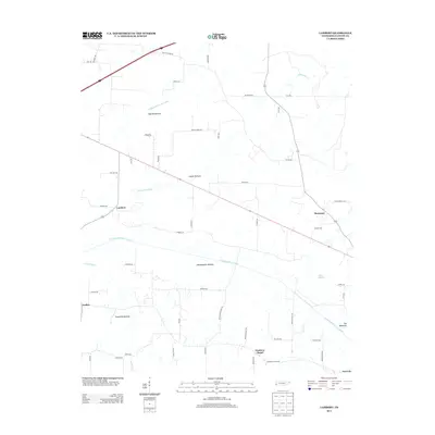
2013 Map of Lambert
USGS Topo · Published 2013About this map
Feathers Chapel serves as a local landmark in this rural Fayette County landscape, where the geography is defined by a series of engineered waterways and expansive lowlands. The drainage patterns of the Loosahatchie River Canal, Laurel Creek Canal, and Little Cypress Creek Canal reveal a sophisticated effort to manage the natural floodplains, or "bottoms," that dominate the area. These features, such as Cypress Bottom and Loosahatchie Bottom, indicate the fertile but swampy nature of the terrain between the small settlements of Lambert and Moorman.
Find a feature on this map
58 named features on this map. Tap any name to fly to it.
Don’t see what you’re looking for? This feature index may not catch every label — zoom into the map to look around manually.
Map Details
Editions of this 2013 Lambert Map
This is the sole edition of this map. No revisions or reprints were ever made.
Other maps of this area

1943 · Collierville
USGS Topo · 1:62,500

1949 · Moscow
USGS Topo · 1:62,500

1952 · Stanton
USGS Topo · 1:24,000

1952 · Lambert
USGS Topo · 1:24,000

1952 · Dancyville
USGS Topo · 1:24,000

1952 · Laconia
USGS Topo · 1:24,000

1952 · Stanton
USGS Topo · 1:62,500

1953 · Collierville
USGS Topo · 1:50,000

1954 · Mason
USGS Topo · 1:62,500

1956 · Blytheville
USGS Topo · 1:250,000