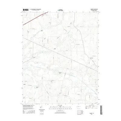
2016 Map of Lambert
USGS Topo · Published 2016About this map
The Loosahatchie River Canal dominates this West Tennessee landscape, cutting through the low-lying Loosahatchie Bottom as part of a significant regional drainage network. This 2016 survey illustrates how the land is defined by these engineered waterways, including the Little Cypress Cr Canal and Laurel Cr Canal, which drain the surrounding wetlands to support agricultural use.
Find a feature on this map
69 named features on this map. Tap any name to fly to it.
Don’t see what you’re looking for? This feature index may not catch every label — zoom into the map to look around manually.
Map Details
Editions of this 2016 Lambert Map
This is the sole edition of this map. No revisions or reprints were ever made.
Other maps of this area

1943 · Collierville
USGS Topo · 1:62,500

1949 · Moscow
USGS Topo · 1:62,500

1952 · Stanton
USGS Topo · 1:24,000

1952 · Lambert
USGS Topo · 1:24,000

1952 · Dancyville
USGS Topo · 1:24,000

1952 · Laconia
USGS Topo · 1:24,000

1952 · Stanton
USGS Topo · 1:62,500

1953 · Collierville
USGS Topo · 1:50,000

1954 · Mason
USGS Topo · 1:62,500

1956 · Blytheville
USGS Topo · 1:250,000