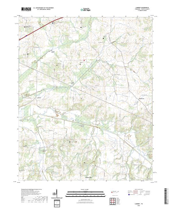
2022 Map of Lambert
USGS Topo · Published 2022About this map
Loosahatchie Bottom and its namesake canal system define the low-lying geography of this Tennessee landscape. This 2022 survey reveals a rural territory where water management is paramount, visible in the straightening of natural drainages into the Loosahatchie River Canal, Laurel Cr Canal, and Little Cypress Cr Canal. These engineered waterways cut through substantial wetlands and floodplain bottoms, including Treadville Bottom and Cypress Bottom, separating the higher ground where small settlements and family plots remain.
Find a feature on this map
66 named features on this map. Tap any name to fly to it.
Don’t see what you’re looking for? This feature index may not catch every label — zoom into the map to look around manually.
Map Details
Editions of this 2022 Lambert Map
This is the sole edition of this map. No revisions or reprints were ever made.
Other maps of this area

1943 · Collierville
USGS Topo · 1:62,500

1949 · Moscow
USGS Topo · 1:62,500

1952 · Stanton
USGS Topo · 1:24,000

1952 · Lambert
USGS Topo · 1:24,000

1952 · Dancyville
USGS Topo · 1:24,000

1952 · Laconia
USGS Topo · 1:24,000

1952 · Stanton
USGS Topo · 1:62,500

1953 · Collierville
USGS Topo · 1:50,000

1954 · Mason
USGS Topo · 1:62,500

1956 · Blytheville
USGS Topo · 1:250,000