
1894 Map of Lambertville
USGS Topo · Published 1894About this map
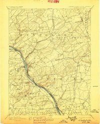
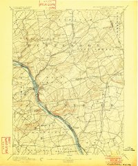
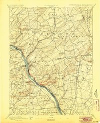
Lambertville and New Hope serve as the central anchors of this late-19th-century landscape, positioned where the industrial corridor of the Delaware River facilitates a dense network of water and rail transport. The river's banks are traced by two major shipping arteries, the Pennsylvania Canal on the west and the Delaware and Raritan Canal on the east, paralleled by the Pennsylvania Railroad Belvidere Division. This concentration of infrastructure highlights the region's importance as a conduit for coal and goods moving between Pennsylvania and New Jersey markets.
Find a feature on this map
98 named features on this map. Tap any name to fly to it.
Don’t see what you’re looking for? This feature index may not catch every label — zoom into the map to look around manually.
Map Details
Editions of this 1894 Lambertville Map
4 editions found
Other maps of this area

1888 · Bordentown
USGS Topo · 1:62,500

1888 · Princeton
USGS Topo · 1:62,500

1890 · Easton
USGS Topo · 1:62,500

1890 · High Bridge
USGS Topo · 1:62,500

1890 · Lambertville
USGS Topo · 1:62,500

1890 · Doylestown
USGS Topo · 1:62,500

1890 · Burlington
USGS Topo · 1:62,500

1891 · Somerville
USGS Topo · 1:62,500

1891 · Easton
USGS Topo · 1:62,500

1891 · Lambertville
USGS Topo · 1:62,500
Featured Places
- Hillsborough Township, NJ
- Ewing Township, NJ
- Lawrence Township, NJ
- Lower Makefield Township, PA
- Raritan Township, NJ