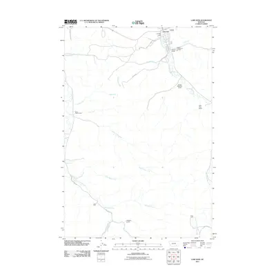
2011 Map of Lame Deer
USGS Topo · Published 2011About this map
Lame Deer serves as the focal point of this Northern Cheyenne Indian Reservation landscape, where the confluence of several seasonal drainages and local infrastructure defines the community. The town center is anchored by essential services like the Lame Deer Post Office and the Northern Cheyenne Vol Fire Dept, while the Lame Deer Cemetery sits on the northern edge. The surrounding terrain is characterized by a network of gulches and coulees, most notably Sweet Medicine Gulch and Soldier Gulch, which feed into Lame Deer Creek.
Find a feature on this map
32 named features on this map. Tap any name to fly to it.
Don’t see what you’re looking for? This feature index may not catch every label — zoom into the map to look around manually.
Map Details
Editions of this 2011 Lame Deer Map
This is the sole edition of this map. No revisions or reprints were ever made.
Other maps of this area

1954 · Hardin
USGS Topo · 1:250,000

1957 · Hardin
USGS Topo · 1:250,000

1958 · Hardin
USGS Topo · 1:250,000

1958 · Painted Hill
USGS Topo · 1:24,000

1958 · Bull Creek Lookout
USGS Topo · 1:24,000

1958 · Jimtown
USGS Topo · 1:24,000

1958 · Black Spring
USGS Topo · 1:24,000

1958 · Fisher Butte
USGS Topo · 1:24,000

1958 · Lame Deer
USGS Topo · 1:24,000

1958 · Badger Peak
USGS Topo · 1:24,000