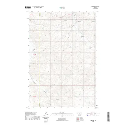
2020 Map of Lame Deer
USGS Topo · Published 2020About this map
Lame Deer serves as the primary hub of this landscape, situated at the confluence of several critical drainages including Lame Deer Cr and Soldier Gulch. The terrain is deeply incised by a network of seasonal and perennial waterways such as Muddy Cr, Coal Cr, and Spotted Elk Cr, which dictate the placement of transportation routes like Westside Rd and State Hwy 4.
Find a feature on this map
36 named features on this map. Tap any name to fly to it.
Don’t see what you’re looking for? This feature index may not catch every label — zoom into the map to look around manually.
Map Details
Editions of this 2020 Lame Deer Map
This is the sole edition of this map. No revisions or reprints were ever made.
Other maps of this area

1954 · Hardin
USGS Topo · 1:250,000

1957 · Hardin
USGS Topo · 1:250,000

1958 · Hardin
USGS Topo · 1:250,000

1958 · Painted Hill
USGS Topo · 1:24,000

1958 · Bull Creek Lookout
USGS Topo · 1:24,000

1958 · Jimtown
USGS Topo · 1:24,000

1958 · Black Spring
USGS Topo · 1:24,000

1958 · Fisher Butte
USGS Topo · 1:24,000

1958 · Lame Deer
USGS Topo · 1:24,000

1958 · Badger Peak
USGS Topo · 1:24,000