Loading...
Loading map...2024 Map of Lame Deer
USGS Topo · Published 2024About this map
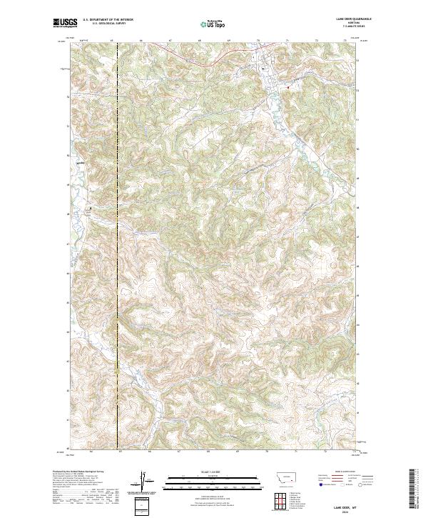
Muddy and the surrounding drainage basins of the Northern Cheyenne Indian Reservation define this Montana landscape, where the Big Horn and Rosebud County line cuts through a complex network of gulches and coulees. The terrain is a maze of hydraulic features, ranging from the prominent Lame Deer Creek in the northeast to Muddy Creek and its southern tributaries. Local history is anchored by the Muddy Creek Cemetery located just west of the primary settlement area.
Find a feature on this map
34 named features on this map. Tap any name to fly to it.
Don’t see what you’re looking for? This feature index may not catch every label — zoom into the map to look around manually.
Map Details
Date Portrayed2024
Date Published2024
PublisherU.S. Geological Survey
Map TypeTopographic
Scale1:24000
Physical Dimensions24 x 29 inches
Editions of this 2024 Lame Deer Map
This is the sole edition of this map. No revisions or reprints were ever made.
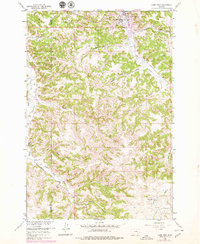
Historical Maps of Muddy District Through Time
3 maps found

Featured Locations
- Rosebud County, MT
- Big Horn County, MT
- Muddy District, MT
- Lame Deer District, MT
- Lame Deer, Lame Deer District
Source Details
SourceU.S. Geological Survey
CopyrightPublic Domain