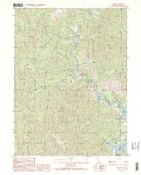
1990 Map of Lamoine
USGS Topo · Published 1990About this map
The Sacramento River carves a deep path through the northern reaches of the Shasta National Forest, serving as the primary corridor for movement and settlement in this corner of Shasta County. Small communities and riverfront landings like Pollard Flat, Lamoine, and Vollmers are positioned along the river's winding course, illustrating the historical reliance on the waterway and the adjacent transportation lines.
Find a feature on this map
53 named features on this map. Tap any name to fly to it.
Don’t see what you’re looking for? This feature index may not catch every label — zoom into the map to look around manually.
Map Details
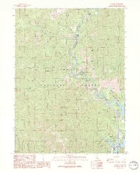
Editions of this 1990 Lamoine Map
2 editions found
Other maps of this area

1886 · Shasta
USGS Topo · 1:250,000

1890 · Red Bluff
USGS Topo · 1:250,000

1894 · Red Bluff
USGS Topo · 1:250,000

1894 · Shasta
USGS Topo · 1:250,000

1901 · Redding
USGS Topo · 1:125,000

1913 · Weaverville
USGS Topo · 1:125,000

1923 · Sawyers Bar
USGS Topo · 1:125,000

1931 · Etna
USGS Topo · 1:96,000

1934 · Etna
USGS Topo · 1:125,000

1935 · Dunsmuir
USGS Topo · 1:125,000