
1939 Map of Lamont
USGS Topo · Published 1961About this map
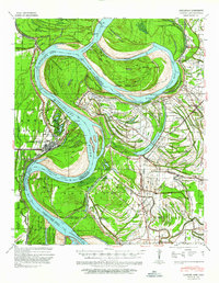
Arkansas City and the winding meanders of the Mississippi River dominate this landscape during a period of significant hydraulic engineering. The map documents the state of the river shortly after major interventions, notably the Caulk Cut-Off 1937 and Ashbrook Cut-Off 1935, which were designed to straighten the channel and manage flood risk. These man-made alterations bypassed traditional loops like Cypress Bend and Georgetown Bend, fundamentally changing the geography of Desha County and Bolivar County.
Find a feature on this map
72 named features on this map. Tap any name to fly to it.
Don’t see what you’re looking for? This feature index may not catch every label — zoom into the map to look around manually.
Map Details
Editions of this 1939 Lamont Map
Other maps of this area

1933 · Lamont
USGS Topo · 1:62,500

1935 · Red Fork
USGS Topo · 1:62,500

1936 · McGehee
USGS Topo · 1:62,500

1936 · Lake Village
USGS Topo · 1:62,500

1937 · McGehee
USGS Topo · 1:62,500

1939 · Pace
USGS Topo · 1:62,500

1939 · Big Island
USGS Topo · 1:62,500

1939 · Refuge
USGS Topo · 1:62,500

1939 · Tralake
USGS Topo · 1:62,500

1939 · Choctaw
USGS Topo · 1:62,500