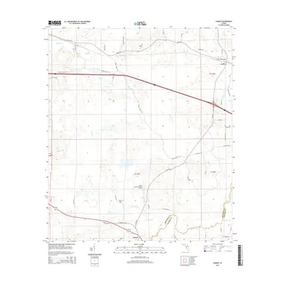
2015 Map of Lamont
USGS Topo · Published 2015About this map
The Aucilla River forms a significant natural boundary on this 2015 survey, separating Jefferson and Madison counties. This landscape is defined by the winding paths of Raysor Cr, Beasley Cr, and Wolf Cr as they feed into the primary river system. The settlements of Aucilla and Lamont serve as the primary hubs for a rural network of roads including Aucilla Rd and N Barber Hill Rd.
Find a feature on this map
49 named features on this map. Tap any name to fly to it.
Don’t see what you’re looking for? This feature index may not catch every label — zoom into the map to look around manually.
Map Details
Editions of this 2015 Lamont Map
This is the sole edition of this map. No revisions or reprints were ever made.
Other maps of this area

1954 · Greenville
USGS Topo · 1:24,000

1954 · Valdosta
USGS Topo · 1:250,000

1955 · Lamont
USGS Topo · 1:24,000

1955 · Waukeenah
USGS Topo · 1:24,000

1955 · Shady Grove
USGS Topo · 1:24,000

1955 · Lamont SE
USGS Topo · 1:24,000

1955 · Wacissa
USGS Topo · 1:24,000

1958 · Valdosta
USGS Topo · 1:250,000

1959 · Valdosta
USGS Topo · 1:250,000

1962 · Ashville
USGS Topo · 1:24,000