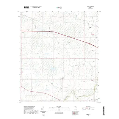
2021 Map of Lamont
USGS Topo · Published 2021About this map
The Aucilla River defines the eastern boundary of this Jefferson County landscape, winding through a network of wetlands and creek systems. Modern infrastructure like the Aucilla River State Trl follows the river's path, reflecting the contemporary recreational use of this rural corridor. The small settlements of Aucilla and Lamont serve as the primary hubs, connected by a web of local roads such as Turkey Scratch Rd and the historical Drifton-Aucilla route.
Find a feature on this map
59 named features on this map. Tap any name to fly to it.
Don’t see what you’re looking for? This feature index may not catch every label — zoom into the map to look around manually.
Map Details
Editions of this 2021 Lamont Map
This is the sole edition of this map. No revisions or reprints were ever made.
Other maps of this area

1954 · Greenville
USGS Topo · 1:24,000

1954 · Valdosta
USGS Topo · 1:250,000

1955 · Lamont
USGS Topo · 1:24,000

1955 · Waukeenah
USGS Topo · 1:24,000

1955 · Shady Grove
USGS Topo · 1:24,000

1955 · Lamont SE
USGS Topo · 1:24,000

1955 · Wacissa
USGS Topo · 1:24,000

1958 · Valdosta
USGS Topo · 1:250,000

1959 · Valdosta
USGS Topo · 1:250,000

1962 · Ashville
USGS Topo · 1:24,000