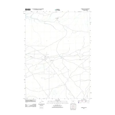
2012 Map of Lamont NE
USGS Topo · Published 2012About this map
Mahoney Dome Oil Field and the surrounding high plains of Carbon County define this landscape as it appeared in the early 21st century. The map centers on the industrial footprint of fossil fuel extraction, with Ohio Camp serving as a localized point of activity along the network of unpaved tracks. The terrain is a complex web of drainage systems, where seasonal water sources like Sand Springs Cr and Muddy Cr converge. Evidence of early land use is found in labels like Dorr Meadow and the presence of Marsh Reservoir in the northwest, suggesting a balance between natural rangeland and water management. Travel through this portion of Wyoming relies on primary arterial routes such as Ferris Rd and Buzzard Rd, which connect the isolated oil fields to the broader region.
Find a feature on this map
13 named features on this map. Tap any name to fly to it.
Don’t see what you’re looking for? This feature index may not catch every label — zoom into the map to look around manually.
Map Details
Editions of this 2012 Lamont NE Map
This is the sole edition of this map. No revisions or reprints were ever made.
Other maps of this area

1953 · Ferris
USGS Topo · 1:24,000

1953 · Spanish Mine
USGS Topo · 1:24,000

1953 · Riddle Cut
USGS Topo · 1:24,000

1955 · Casper
USGS Topo · 1:250,000

1958 · Casper
USGS Topo · 1:250,000

1960 · Separation Rim
USGS Topo · 1:24,000

1960 · Boggy Meadows
USGS Topo · 1:24,000

1961 · Lamont NE
USGS Topo · 1:24,000

1961 · Lamont
USGS Topo · 1:24,000

1962 · Casper
USGS Topo · 1:250,000