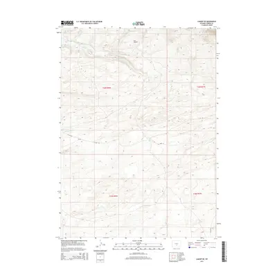
2015 Map of Lamont NE
USGS Topo · Published 2015About this map
Dorr Meadow and the high-elevation drainage basins of Carbon County define this landscape as it appeared during the 2015 USGS survey. The area is characterized by an intricate network of seasonal and perennial watercourses, including the headwaters of Cottonwood Cr, Muddy Cr, and Cress Cr. These streams flow through a topography marked by significant elevation changes, with the northern portion of the sheet reaching several hundred feet higher than the southern plains. The built environment is sparse, consisting primarily of utility-focused infrastructure like CC Road 100 and Ferris Rd. Water management is evident at the Marsh Reservoir in the northwest, while natural features like Little Sand Spring indicate the critical role of groundwater in this arid environment. This map captures the remote, high-desert character of the region, emphasizing the spatial relationships between named water sources and the historical public land survey system divisions.
Find a feature on this map
18 named features on this map. Tap any name to fly to it.
Don’t see what you’re looking for? This feature index may not catch every label — zoom into the map to look around manually.
Map Details
Editions of this 2015 Lamont NE Map
This is the sole edition of this map. No revisions or reprints were ever made.
Other maps of this area

1953 · Ferris
USGS Topo · 1:24,000

1953 · Spanish Mine
USGS Topo · 1:24,000

1953 · Riddle Cut
USGS Topo · 1:24,000

1955 · Casper
USGS Topo · 1:250,000

1958 · Casper
USGS Topo · 1:250,000

1960 · Separation Rim
USGS Topo · 1:24,000

1960 · Boggy Meadows
USGS Topo · 1:24,000

1961 · Lamont NE
USGS Topo · 1:24,000

1961 · Lamont
USGS Topo · 1:24,000

1962 · Casper
USGS Topo · 1:250,000