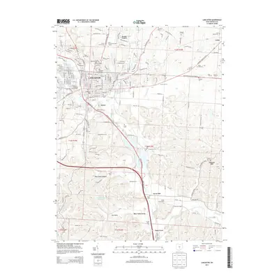
2013 Map of Lancaster
USGS Topo · Published 2013About this map
The city of Lancaster serves as the focal point of this 2013 topographic study, where the Hocking River meets the local transport arteries. The area is dense with heritage sites, including numerous rural burial grounds such as Forest Rose Cem and Saint Marys Cem. Educational and recreational land use is prominent, notably the Ohio University-Lancaster Campus and the Skyview Drive-In theatre.
Find a feature on this map
90 named features on this map. Tap any name to fly to it.
Don’t see what you’re looking for? This feature index may not catch every label — zoom into the map to look around manually.
Map Details
Editions of this 2013 Lancaster Map
This is the sole edition of this map. No revisions or reprints were ever made.
Other maps of this area
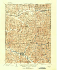
1907 · Logan
USGS Topo · 1:62,500
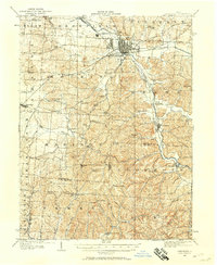
1907 · Lancaster
USGS Topo · 1:62,500
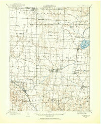
1907 · Thurston
USGS Topo · 1:62,500
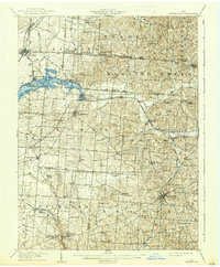
1909 · Thornville
USGS Topo · 1:62,500
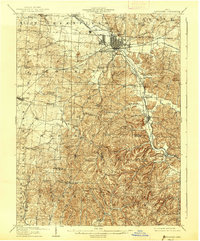
1909 · Lancaster
USGS Topo · 1:62,500
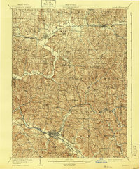
1909 · Logan
USGS Topo · 1:62,500
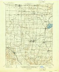
1909 · Thurston
USGS Topo · 1:62,500

1947 · Columbus
USGS Topo · 1:250,000
1958 · Carroll
USGS Topo · 1:24,000
1958 · Amanda
USGS Topo · 1:24,000