
1908 Map of Lancaster
USGS Topo · Published 1908About this map
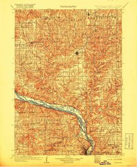
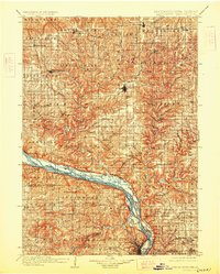
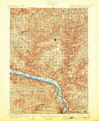
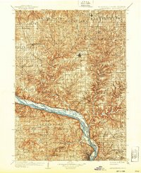
The Lancaster region of southwest Wisconsin and the adjacent river borders of Iowa and Illinois appear here during a period of established rail-and-river commerce. The Mississippi River serves as the dominant geographical feature, its banks dotted with landings and crossings such as Spechts Ferry and Mc Cartney. This survey captures the intricate network of the Chicago and Northwestern Ry and the Chicago Milwaukee and St. Paul Ry, which linked upland farming communities like Beetown and Bloomington to the larger river economy.
Find a feature on this map
101 named features on this map. Tap any name to fly to it.
Don’t see what you’re looking for? This feature index may not catch every label — zoom into the map to look around manually.
Map Details
Editions of this 1908 Lancaster Map
5 editions found
Other maps of this area

1900 · Anamosa
USGS Topo · 1:125,000

1900 · Lancaster
USGS Topo · 1:125,000

1901 · Peosta
USGS Topo · 1:125,000

1902 · Mineral Point
USGS Topo · 1:125,000

1902 · Elkader
USGS Topo · 1:125,000

1903 · Waukon
USGS Topo · 1:125,000

1904 · Lancaster
USGS Topo · 1:125,000

1905 · Richland Center
USGS Topo · 1:125,000

1911 · Galena
USGS Topo · 1:62,500

1913 · Galena
USGS Topo · 1:62,500