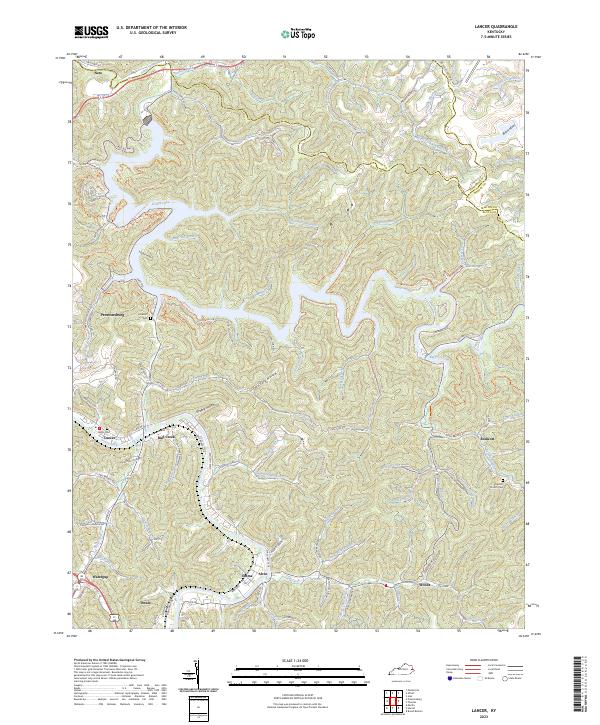
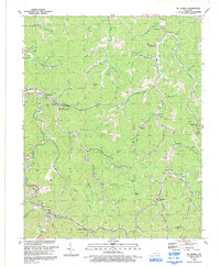
2023 Map of Lancer
USGS Topo · Published 2023About this map
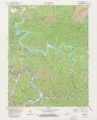
Dewey Lake forms the centerpiece of this Floyd County landscape, where the waters of Johns Creek and various mountain forks converge. The terrain is characterized by a dense network of hollows and branches, including Corn Fork Hollow and Mayo Hollow, which dictate the placement of local infrastructure and family-named landmarks. The mapping reflects a region where modern recreation and residential growth intersect with deep-rooted community history, evident in the numerous small settlements like Lancer, Alvin, and Emma that line the valley floors.
Find a feature on this map
89 named features on this map. Tap any name to fly to it.
Don’t see what you’re looking for? This feature index may not catch every label — zoom into the map to look around manually.
Map Details
Editions of this 2023 Lancer Map
This is the sole edition of this map. No revisions or reprints were ever made.
Historical Maps of Dewey Through Time
12 maps found

1914 Laynesville
Floyd County, KY
1916 Harold
Floyd County, KY
1954 Harold
Floyd County, KY
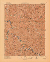
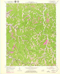
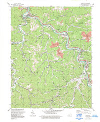
1954 Lancer
Floyd County, KY
1954 Mc Dowell
Floyd County, KY
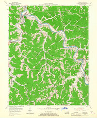
1978 Lancer
Floyd County, KY
1979 Harold
Floyd County, KY
1992 Harold
Floyd County, KY

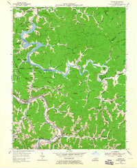
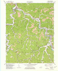
1992 Lancer
Floyd County, KY
1992 Mc Dowell
Floyd County, KY
2022 Harold
Floyd County, KY
2023 Lancer
Floyd County, KY