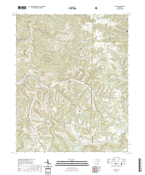
2024 Map of Landis
USGS Topo · Published 2024About this map
Landis sits at the heart of this Searcy County landscape, where the ridges of the Ozark Mountains are carved by a dense network of hollows and creeks. The terrain is defined by prominent elevations such as Buzzard Roost Mtn and Lee Mtn, with the northern edge of the Ozark National Forest and Murry Treat Hollow marking the upland woods. A series of family-named cemeteries, including Landis Cem, Passmore Cem, and Scribner Cem, are scattered across the quadrangle, serving as essential landmarks for genealogists tracing the rural heritage of northern Arkansas.
Find a feature on this map
100 named features on this map. Tap any name to fly to it.
Don’t see what you’re looking for? This feature index may not catch every label — zoom into the map to look around manually.
Map Details
Editions of this 2024 Landis Map
This is the sole edition of this map. No revisions or reprints were ever made.
Other maps of this area

1890 · Mountain Home
USGS Topo · 1:125,000

1891 · Mountain Home
USGS Topo · 1:125,000

1892 · Marshall
USGS Topo · 1:125,000

1892 · Mountain View
USGS Topo · 1:125,000

1893 · Yellville
USGS Topo · 1:125,000

1894 · Mountain View
USGS Topo · 1:125,000

1894 · Mountain Home
USGS Topo · 1:125,000

1894 · Marshall
USGS Topo · 1:125,000

1901 · Marshall
USGS Topo · 1:125,000

1903 · Yellville
USGS Topo · 1:125,000