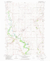
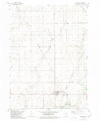
1980 Map of Lanesboro
USGS Topo · Published 1980About this map
Lanesboro serves as the central hub of this west-central Iowa landscape, positioned where the Chicago and North Western rail line cuts across the fertile plains of Carroll and Calhoun counties. The North Raccoon River and its tributaries, including Purgatory Creek and Marrowbone Creek, carve distinct paths through the agricultural grid, creating pockets of recreation at sites like Hobbs County Park and Artesian Lake County Park.
Find a feature on this map
29 named features on this map. Tap any name to fly to it.
Don’t see what you’re looking for? This feature index may not catch every label — zoom into the map to look around manually.
Map Details
Editions of this 1980 Lanesboro Map
This is the sole edition of this map. No revisions or reprints were ever made.
Other maps of this area

1954 · Fort Dodge
USGS Topo · 1:250,000

1957 · Fort Dodge
USGS Topo · 1:250,000

1958 · Fort Dodge
USGS Topo · 1:250,000
1980 · Glidden
USGS Topo · 1:24,000

1980 · Carroll NE
USGS Topo · 1:24,000

1980 · Yetter
USGS Topo · 1:24,000

1980 · Wightman
USGS Topo · 1:24,000
1980 · Carroll East
USGS Topo · 1:24,000
1980 · Scranton
USGS Topo · 1:24,000
1980 · Lohrville
USGS Topo · 1:24,000