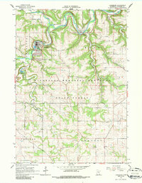
1965 Map of Lanesboro
USGS Topo · Published 1986About this map
Lanesboro serves as the focal point of this mid-1960s survey, situated at the confluence where the South Branch Root River joins the main Root River valley. The town's industrial and community footprint is clearly marked by its sewage disposal site, a local country club, and the nearby Lanesboro Cemetery. To the east, the village of Whalan sits along the Chicago Milwaukee St Paul and Pacific railroad, which follows the river's winding course through the steep topography of the Minnesota Memorial Hardwood State Forest.
Find a feature on this map
29 named features on this map. Tap any name to fly to it.
Don’t see what you’re looking for? This feature index may not catch every label — zoom into the map to look around manually.
Map Details
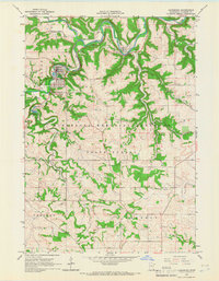
Editions of this 1965 Lanesboro Map
2 editions found
Other maps of this area

1954 · Chatfield
USGS Topo · 1:62,500

1954 · Lewiston
USGS Topo · 1:62,500

1954 · Mason City
USGS Topo · 1:250,000

1957 · Mason City
USGS Topo · 1:250,000

1958 · Mason City
USGS Topo · 1:250,000

1958 · La Crosse
USGS Topo · 1:250,000

1961 · La Crosse
USGS Topo · 1:250,000

1965 · La Crosse
USGS Topo · 1:250,000

1965 · Harmony
USGS Topo · 1:24,000

1965 · Mabel
USGS Topo · 1:24,000