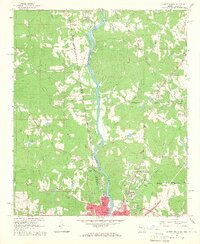
1964 Map of Lanett North
USGS Topo · Published 1965About this map
The Chattahoochee River carves a central path through this mid-1960s landscape, serving as the border between the growing industrial centers of Lanett, Alabama, and West Point, Georgia. The map documents a dense network of civic and religious infrastructure, featuring numerous rural congregations like Friendship Ch and Bethel Ch, alongside essential services such as the Valley Hospital and the Gaging Sta on the riverbank.
Find a feature on this map
59 named features on this map. Tap any name to fly to it.
Don’t see what you’re looking for? This feature index may not catch every label — zoom into the map to look around manually.
Map Details
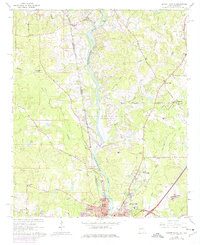
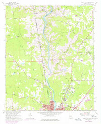
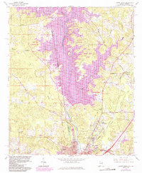
Editions of this 1964 Lanett North Map
4 editions found
Other maps of this area

1899 · Wedowee
USGS Topo · 1:125,000

1902 · Wedowee
USGS Topo · 1:125,000

1907 · Opelika
USGS Topo · 1:125,000

1909 · Opelika
USGS Topo · 1:125,000

1953 · Atlanta
USGS Topo · 1:250,000

1955 · Phenix City
USGS Topo · 1:250,000

1957 · Phenix City
USGS Topo · 1:250,000

1957 · Atlanta
USGS Topo · 1:250,000

1958 · Phenix City
USGS Topo · 1:250,000

1958 · Atlanta
USGS Topo · 1:250,000