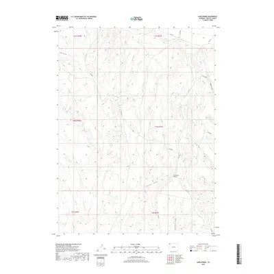
2019 Map of Lang Spring
USGS Topo · Published 2019About this map
Sevenmile Ridge and its surrounding drainage systems define the high desert character of this Moffat County landscape. The area is dominated by deep seasonal channels such as Dugout Draw, Lake Draw, and Sevenmile Draw, which underscore the arid geography of the region. Isolated water sources like Lang Spring and Spence Spring appear as critical landmarks in an otherwise dry terrain, historically significant for livestock and early travel through the high plateaus. A network of secondary routes, including Co RD 66a and Co RD 75, provides the primary access through these townships. The map documents the intricate topography of the Spence Gulch area, illustrating how the natural landforms dictated the path of local roads and the distribution of vital water points.
Find a feature on this map
18 named features on this map. Tap any name to fly to it.
Don’t see what you’re looking for? This feature index may not catch every label — zoom into the map to look around manually.
Map Details
Editions of this 2019 Lang Spring Map
This is the sole edition of this map. No revisions or reprints were ever made.
Other maps of this area

1954 · Vernal
USGS Topo · 1:250,000

1958 · Vernal
USGS Topo · 1:250,000

1958 · Maybell
USGS Topo · 1:62,500

1960 · Vernal
USGS Topo · 1:250,000

1960 · Lone Mountain
USGS Topo · 1:62,500

1969 · Reservoir Draw
USGS Topo · 1:24,000

1969 · The Nipple
USGS Topo · 1:24,000

1969 · Sheepherder Springs
USGS Topo · 1:24,000

1969 · Coffeepot Spring
USGS Topo · 1:24,000

1969 · Powder Wash
USGS Topo · 1:24,000