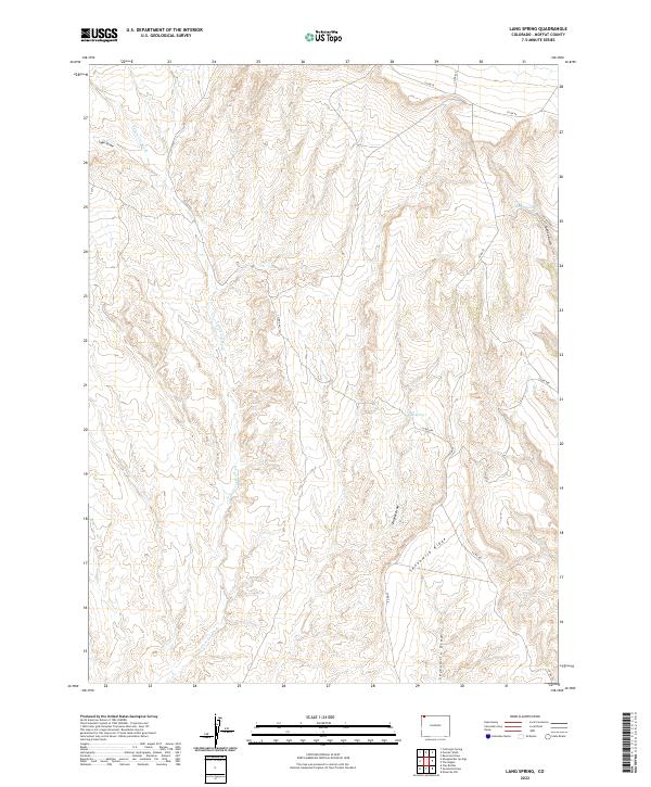
2022 Map of Lang Spring
USGS Topo · Published 2022About this map
Lang Spring and Spence Spring provide rare water sources in this arid stretch of Moffat County, where the landscape is defined by deep incisions and high divides. The terrain is dominated by the prominent Sevenmile Ridge, which separates the drainage systems of Yellow Cat Wash to the west and the various draws to the east. Modern county roads, including Co RD 66 and Co RD 75, follow the natural contours of the land, tracing paths through Spence Gulch and across the high plains. This 2022 survey illustrates the enduring importance of topography in rural Colorado, where transportation remains tied to the underlying geology of features like Lake Draw and Dugout Draw. The map meticulously documents the Public Land Survey System grid across multiple townships, anchoring these physical features within their legal geographic framework.
Find a feature on this map
20 named features on this map. Tap any name to fly to it.
Don’t see what you’re looking for? This feature index may not catch every label — zoom into the map to look around manually.
Map Details
Editions of this 2022 Lang Spring Map
This is the sole edition of this map. No revisions or reprints were ever made.
Other maps of this area

1954 · Vernal
USGS Topo · 1:250,000

1958 · Vernal
USGS Topo · 1:250,000

1958 · Maybell
USGS Topo · 1:62,500

1960 · Vernal
USGS Topo · 1:250,000

1960 · Lone Mountain
USGS Topo · 1:62,500

1969 · Reservoir Draw
USGS Topo · 1:24,000

1969 · The Nipple
USGS Topo · 1:24,000

1969 · Sheepherder Springs
USGS Topo · 1:24,000

1969 · Coffeepot Spring
USGS Topo · 1:24,000

1969 · Powder Wash
USGS Topo · 1:24,000