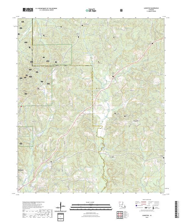
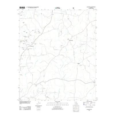
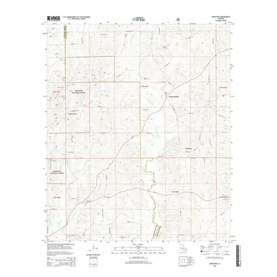
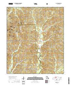
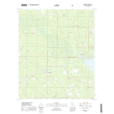
2024 Map of Langston
USGS Topo · Published 2024About this map
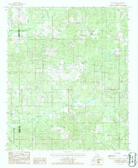
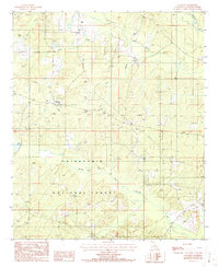
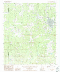
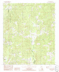
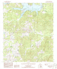
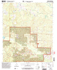
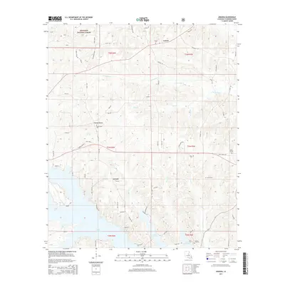
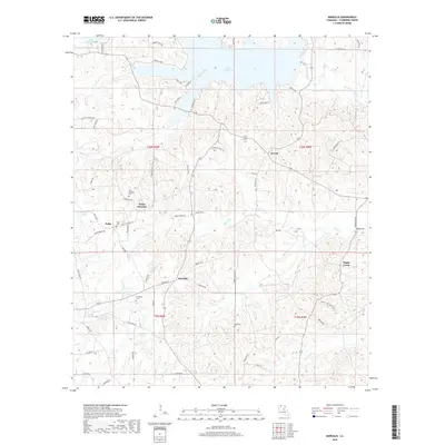
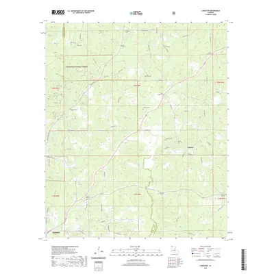
The boundary between Webster and Claiborne Parishes defines this rural landscape, characterized by the winding path of Black Lake Bayou and its numerous tributaries. Settled pockets like Langston are surrounded by family history, evident in the high density of small burial grounds such as Miller Family Cem, Lee Family Cem, and Martin Family Cem. The western edge of the area is occupied by the protected woodlands of the Kisatchie National Forest, where drainage systems like Cooley Branch and Sugar Creek carve through the terrain. A network of parish roads, including Parish Rd 180 and Germantown Rd, connects these isolated communities and historic sites. This modern survey provides a detailed look at the persistent rural layout of Northern Louisiana, where names like Mount Zion Cem and Germantown Cem anchor the landscape to its ancestral roots.
Find a feature on this map
68 named features on this map. Tap any name to fly to it.
Don’t see what you’re looking for? This feature index may not catch every label — zoom into the map to look around manually.
Map Details
Editions of this 2024 Langston Map
This is the sole edition of this map. No revisions or reprints were ever made.
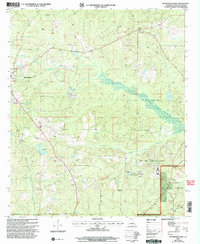
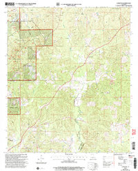
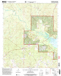
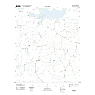
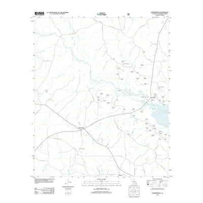
Historical Maps of Minden Through Time
56 maps found
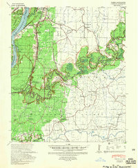
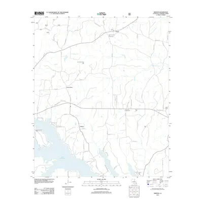
1939 Yokena
Claiborne Parish, LA
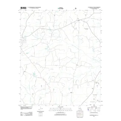
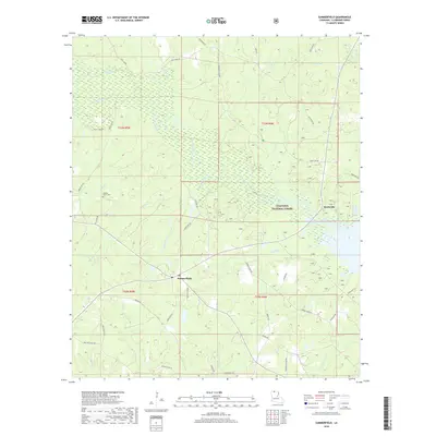
1951 Summerfield
Claiborne Parish, LA
1986 Arizona
Claiborne Parish, LA
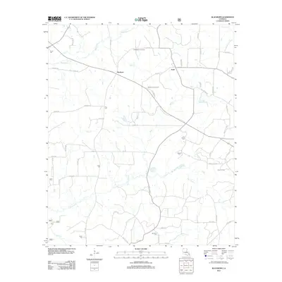
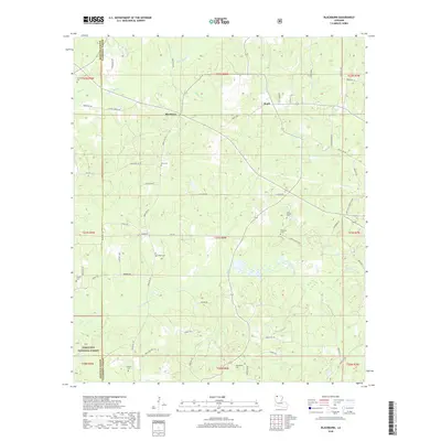
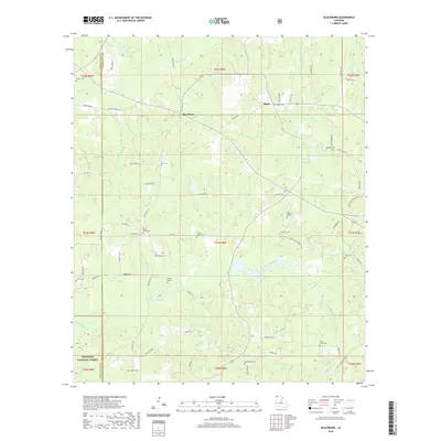
1986 Blackburn
Claiborne Parish, LA
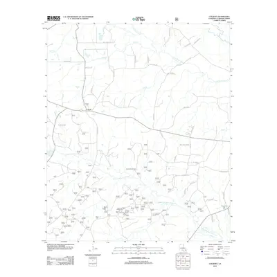
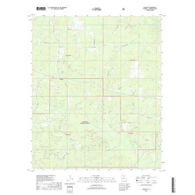
1986 Colquitt
Claiborne Parish, LA

1986 Haynesville East
Claiborne Parish, LA
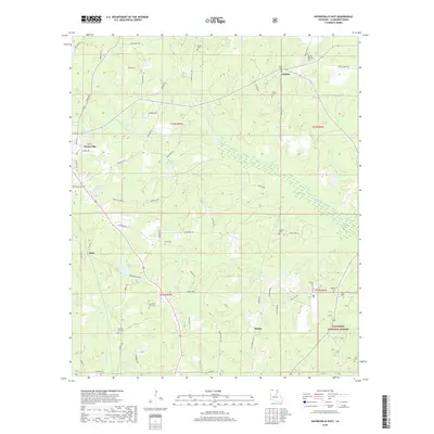
1986 Haynesville West
Claiborne Parish, LA
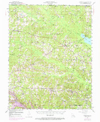
1986 Langston
Claiborne Parish, LA
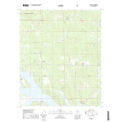
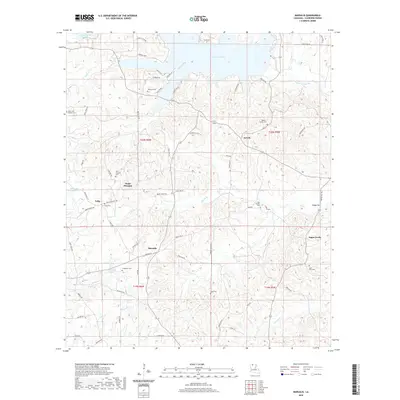
1986 Marsalis
Claiborne Parish, LA
1986 Summerfield
Claiborne Parish, LA
2003 Arizona
Claiborne Parish, LA
2003 Blackburn
Claiborne Parish, LA
2003 Colquitt
Claiborne Parish, LA
2003 Haynesville East
Claiborne Parish, LA
2003 Langston
Claiborne Parish, LA
2003 Summerfield
Claiborne Parish, LA
2012 Arizona
Claiborne Parish, LA
2012 Blackburn
Claiborne Parish, LA
2012 Colquitt
Claiborne Parish, LA
2012 Haynesville East
Claiborne Parish, LA
2012 Haynesville West
Claiborne Parish, LA
2012 Langston
Claiborne Parish, LA
2012 Marsalis
Claiborne Parish, LA
2012 Summerfield
Claiborne Parish, LA
2015 Arizona
Claiborne Parish, LA
2015 Blackburn
Claiborne Parish, LA
2015 Colquitt
Claiborne Parish, LA
2015 Haynesville East
Claiborne Parish, LA

2015 Haynesville West
Claiborne Parish, LA
2015 Langston
Claiborne Parish, LA
2015 Marsalis
Claiborne Parish, LA
2015 Summerfield
Claiborne Parish, LA
2018 Arizona
Claiborne Parish, LA
2018 Blackburn
Claiborne Parish, LA
2018 Colquitt
Claiborne Parish, LA
2018 Haynesville East
Claiborne Parish, LA

2018 Haynesville West
Claiborne Parish, LA
2018 Langston
Claiborne Parish, LA
2018 Marsalis
Claiborne Parish, LA
2018 Summerfield
Claiborne Parish, LA
2020 Arizona
Claiborne Parish, LA
2020 Blackburn
Claiborne Parish, LA
2020 Colquitt
Claiborne Parish, LA
2020 Haynesville East
Claiborne Parish, LA

2020 Haynesville West
Claiborne Parish, LA
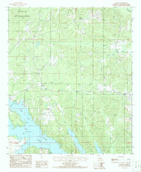
2020 Langston
Claiborne Parish, LA
2020 Marsalis
Claiborne Parish, LA
2020 Summerfield
Claiborne Parish, LA
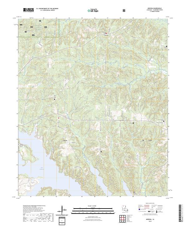
2024 Arizona
Claiborne Parish, LA
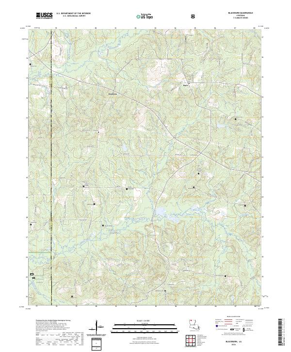
2024 Blackburn
Claiborne Parish, LA
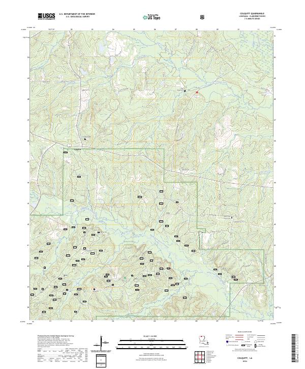
2024 Colquitt
Claiborne Parish, LA
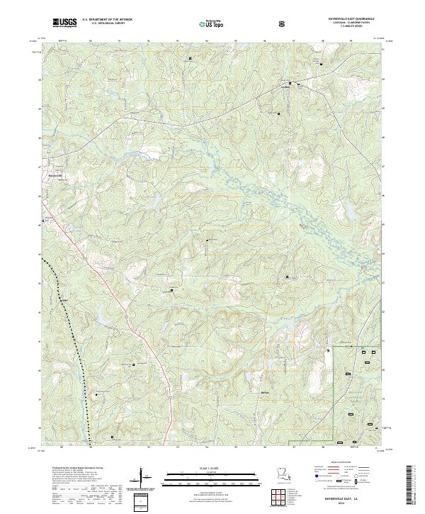
2024 Haynesville East
Claiborne Parish, LA
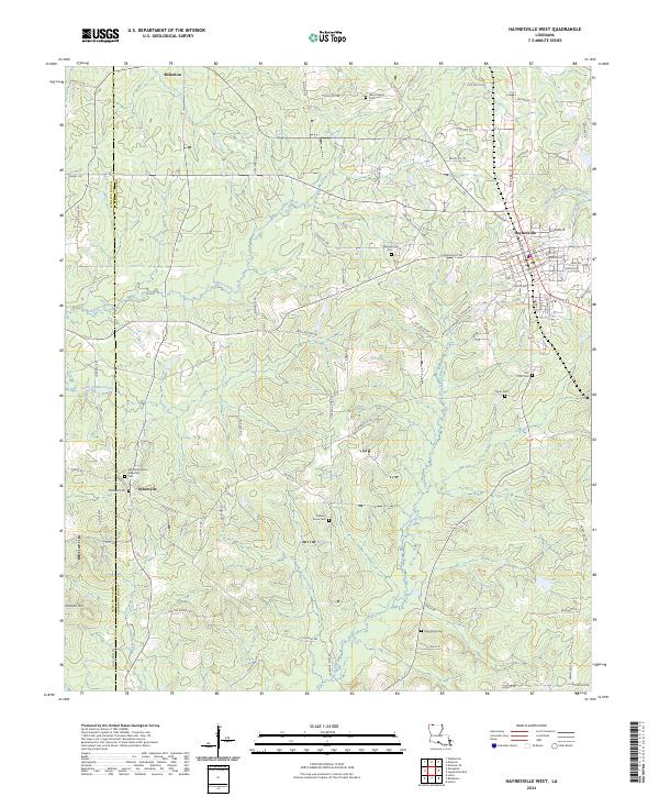
2024 Haynesville West
Claiborne Parish, LA
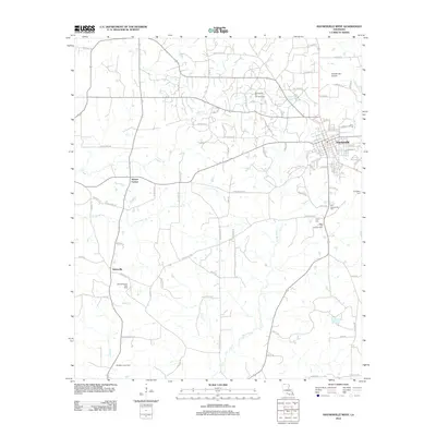
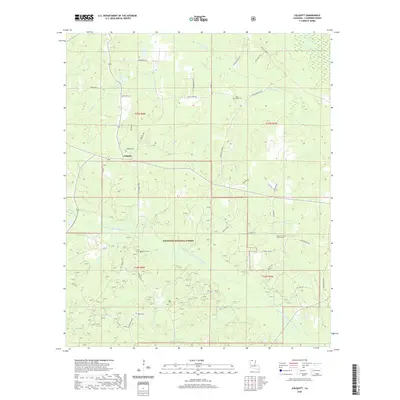
2024 Langston
Claiborne Parish, LA
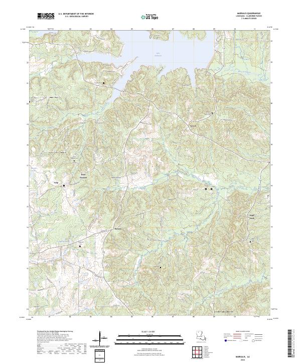
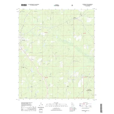
2024 Marsalis
Claiborne Parish, LA
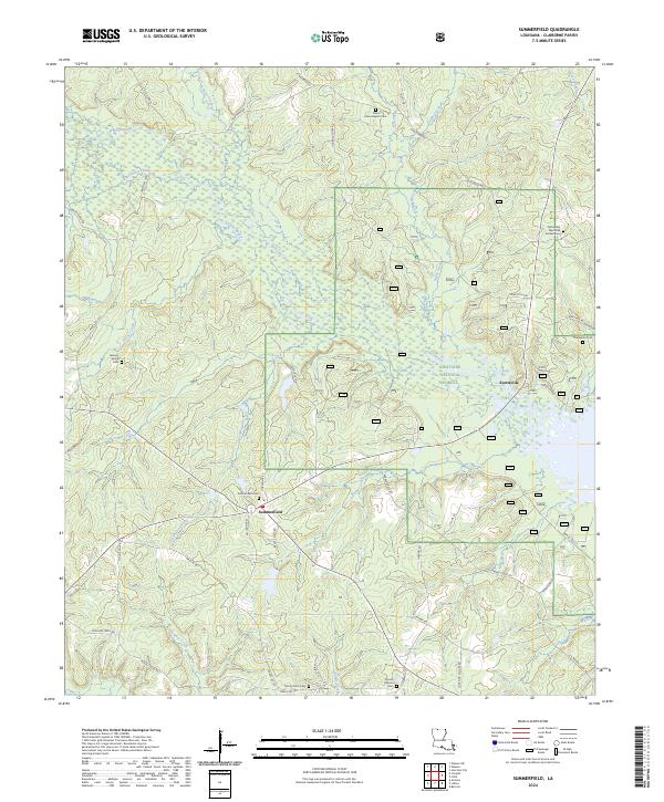
2024 Summerfield
Claiborne Parish, LA