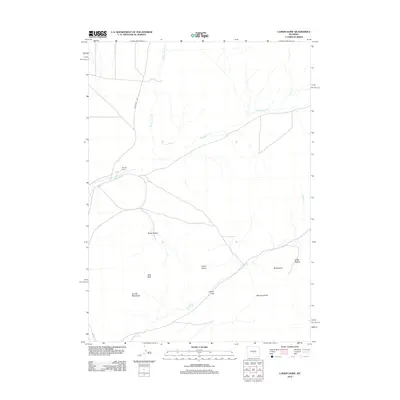
2012 Map of Lankin Dome
USGS Topo · Published 2012About this map
The Granite Mountains define the southern landscape of this central Wyoming region, rising sharply above the desert floor. In this sparsely populated high-plains environment, the Murphy Ranch stands as a rare outpost of human settlement, situated north of the prominent Lankin Dome. The terrain is marked by distinctive geological formations and recesses, such as Nolen Pocket and Miller Pocket, which likely served as natural landmarks for early travelers and cattlemen. Water sources are critical but seasonal, represented by the drainages of Lankin Cr, Sage Hen Cr, and W Sage Hen Cr. Access through this territory is primarily limited to Agate Flat Rd, tracing a route near Bills Peak and the passage at Lankin Gap. Other significant heights like McIntosh Peak and the lone landmark of Moonstone provide essential orientation in an otherwise open, arid expanse.
Find a feature on this map
13 named features on this map. Tap any name to fly to it.
Don’t see what you’re looking for? This feature index may not catch every label — zoom into the map to look around manually.
Map Details
Editions of this 2012 Lankin Dome Map
This is the sole edition of this map. No revisions or reprints were ever made.
Other maps of this area

1951 · Bucklin Reservoirs
USGS Topo · 1:24,000

1951 · Lone Mountain
USGS Topo · 1:24,000

1951 · Black Rock Gap
USGS Topo · 1:24,000

1951 · Split Rock
USGS Topo · 1:24,000

1951 · Split Rock NW
USGS Topo · 1:24,000

1951 · Lankin Dome
USGS Topo · 1:24,000

1952 · Coyote Springs
USGS Topo · 1:24,000

1952 · Mc Intosh Meadows
USGS Topo · 1:24,000

1955 · Casper
USGS Topo · 1:250,000

1958 · Casper
USGS Topo · 1:250,000