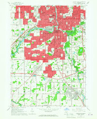
1965 Map of Lansing South
USGS Topo · Published 1967About this map
The Grand River and Red Cedar River converge in the heart of this mid-1960s state capital landscape, which is densely packed with civic institutions and expanding residential tracts. The city core is anchored by the State Capitol, the Civic Center, and the State School for the Blind, while industrial and transit corridors like the New York Central Railroad and Chesapeake and Ohio define the urban layout. South of the city limits, the terrain transitions into a patchwork of rural drains such as Gilkey Drain and Hilliard Drain, supporting smaller communities like Holt and Millett. This survey captures a moment of significant mid-century growth, evident in the numerous new schools like Everett High Sch and Waverly High Sch that pepper the suburbanizing fringes near the Eaton and Ingham County line.
Find a feature on this map
160 named features on this map. Tap any name to fly to it.
Don’t see what you’re looking for? This feature index may not catch every label — zoom into the map to look around manually.
Map Details
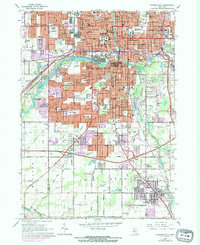
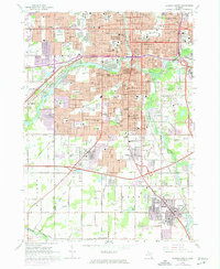
Editions of this 1965 Lansing South Map
Other maps of this area

1909 · Mason
USGS Topo · 1:62,500

1910 · Lansing
USGS Topo · 1:62,500

1911 · Mason
USGS Topo · 1:62,500

1912 · Lansing
USGS Topo · 1:62,500

1927 · De Witt
USGS Topo · 1:62,500

1928 · Laingsburg
USGS Topo · 1:62,500

1944 · Laingsburg
USGS Topo · 1:62,500

1958 · Grand Rapids
USGS Topo · 1:250,000

1961 · Grand Rapids
USGS Topo · 1:250,000

1962 · Grand Rapids
USGS Topo · 1:250,000